 Pohlern: Möntschelealp
Lake Thun defines the setting of Möntschelealp — an alpine pasture in its wider basin, where the rolling agricultural country of the Bernese Oberland meets pre-Alpine slopes. Near Pohlern in the canton of Bern, meadows and grazing land alternate with forest, creating terrain shaped as much by farming as by relief. Seasonal use of Alpine pastures remains an important part of rural life in this part of Switzerland, supporting cattle husbandry and the production of regional mountain cheeses. Möntschelealp represents the working uplands beyond the better-known lakeside towns, while remaining closely tied to the Lake Thun region and the wider Bernese Oberland.
Generated by AI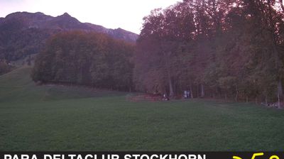
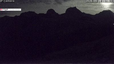





The foothills of the Bernese Alps define the setting of Pohlern — their slopes place this former municipality above the Kander valley, among farms and dispersed homes in the canton of Bern. Pohlern became part of Reutigen through a municipal merger in 2009, yet it retains the small-scale rural character typical of the Bernese Oberland’s lower mountain country. The Stockhorn, a prominent summit in the nearby range, anchors the alpine backdrop, while Thun and Lake Thun lie farther north. This is a quiet corner where working land, local roads and mountain terrain meet. See how Pohlern relates to the Bernese Oberland and Kander valley by browsing webcams nearby.
2 webcams
Built around the Aare River and routes across the Swiss Plateau, Bern grew into a canton connecting the federal capital with the Bernese Oberland. Its territory extends from Jura foothills and farmland through the Aare valley to the high Alps around the Eiger, Mönch and Jungfrau. The city of Bern, Switzerland’s federal capital, preserves an Old Town inscribed on UNESCO’s World Heritage List, while Thun and Interlaken lead towards Lakes Thun and Brienz. Urban institutions, dairy farming and established alpine resorts give the canton a notably broad Swiss character. View additional webcams nearby to better understand how Bern relates to its Alpine and plateau surroundings.
235 webcams
Switzerland stretches from the Jura Mountains in the northwest to the Alps in the south, encompassing a central plateau of cities, farms and lakes. The Rhine rises in the Swiss Alps, while Lake Geneva forms part of the country’s southwestern border. Zürich, Geneva and Basel are major urban centres, yet mountain railways and passes remain central to how many regions are experienced. Four national languages—German, French, Italian and Romansh—reflect Switzerland’s distinct cantonal identities. The Matterhorn above Zermatt is among Europe’s most recognisable peaks, and the 1291 Federal Charter is closely associated with the country’s founding tradition. Continue through nearby webcams to explore different parts of Switzerland.
1.5K webcams