 Morell: Saint Peters Bay
Few places in Prince Edward Island have a history as closely tied to a cross-island water route as Saint Peters Bay. This long, sheltered inlet on the island’s north shore opens toward the Gulf of St. Lawrence and is framed by low rural land rather than a dense waterfront. The community of St. Peters Bay developed beside this coastal waterway, with Route 2 linking it to other island settlements. Opened in 1873, St. Peters Canal cuts across the narrow isthmus to join the bay to the Brudenell River, creating a navigable connection toward the island’s south shore. The canal is a National Historic Site of Canada and remains the defining piece of engineering in this small coastal district.
Generated by AI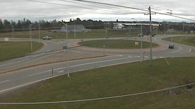
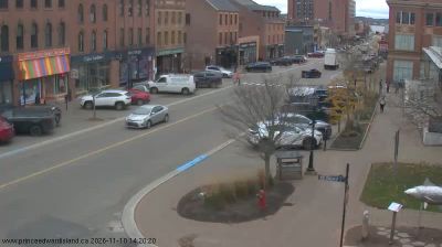

The low, wooded coastal plain around Morell is threaded by the Morell River as it approaches St. Peters Bay, a setting that has shaped the settlement’s water-based work and agricultural hinterland. This small Kings County community lies in eastern Prince Edward Island, where red-soil fields meet tidal inlets on the Gulf of St. Lawrence side of the island. Nearby, the Greenwich section of Prince Edward Island National Park protects a distinctive dune system beside St. Peters Bay. Morell stands within Epekwitik, the ancestral homeland of the Mi’kmaq, whose presence remains fundamental to the island’s cultural identity. Browse related webcams nearby for a broader sense of Morell, St. Peters Bay and eastern Prince Edward Island.
1 webcam
Prince Edward Island combines red-soil farmland with a strongly maritime character in a way that reflects its position within the Gulf of St. Lawrence. Canada’s smallest province is edged by long beaches, sandstone cliffs and sheltered coves, with the Northumberland Strait along its southern shore. Charlottetown hosted the 1864 conference that helped set Canadian Confederation in motion, while Cavendish remains closely linked to Lucy Maud Montgomery’s Anne of Green Gables. Lobster fishing, potato growing and Acadian and Mi’kmaq heritage continue to shape island life. Continue with other webcams from the area to see how this part of Atlantic Canada connects regionally.
9 webcams
Canada has served as a frontier between French and British colonial powers since the 17th century. The world’s second-largest country extends from Atlantic shores to the Pacific and Arctic coasts, with the Canadian Shield, the Rocky Mountains, the Great Lakes and the St. Lawrence River shaping its vast geography. First Nations, Inuit and Métis peoples are central to Canada’s identity, while Ottawa’s Parliament Hill represents its federal political life. French remains the official language of Quebec, adding a distinct dimension to the country’s public culture. See how Canada connects across North America by browsing webcams in neighbouring regions.
3.5K webcams