 District of Prešov: Presov
Few places in eastern Slovakia have a history as closely tied to commerce in the Torysa valley as Prešov. Long a meeting point on routes through the Šariš region, the city received the privileges of a free royal town in 1374. Its elongated historic centre follows Hlavná ulica, where civic buildings, former burghers’ houses and churches form the city’s central spine. The Gothic Co-Cathedral of St Nicholas is one of Prešov’s defining monuments, while the Greek Catholic Cathedral of St John the Baptist reflects religious traditions that have shaped the city. Set between the Torysa valley and the low hills of northeastern Slovakia, Prešov has the scale of an important regional centre without the bustle of the country’s largest cities.
Generated by AI
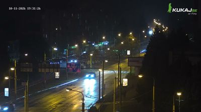
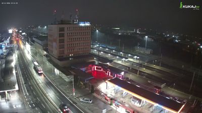


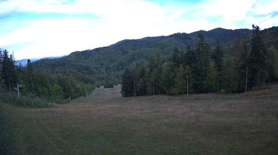


Few cities in eastern Slovakia have a history as closely tied to trade between the Kingdom of Hungary and Poland as Prešov. Set on the Torysa River below the slopes of the Šarišská vrchovina, this regional centre has long linked the Šariš area with routes running north towards the Carpathians. Its elongated main square is anchored by the Gothic Co-Cathedral of St Nicholas, while the historic Solivar complex recalls the salt production that shaped local commerce. Prešov is also the seat of the Greek Catholic Archeparchy of Prešov, an important institution in Slovakia’s religious life. Discover other points of interest through webcams located across Prešov and the Prešov Region.
8 webcams
Carpathian ranges and river-cut valleys define much of the Prešov Region – forests, pastureland and upland settlements shape forestry, farming and outdoor tourism. In northeastern Slovakia, the region extends from the High Tatras towards the Pieniny on the Polish border, with the Poprad, Hornád, Torysa and Ondava among its important waterways. Its cultural heritage is equally distinctive: Bardejov’s medieval centre is a UNESCO World Heritage Site, while Spiš Castle recalls the historical importance of the Spiš area. Several UNESCO-listed wooden churches of the Slovak Carpathians also stand here. Explore related webcams around the Prešov Region for a broader impression of this part of Slovakia.
62 webcams
Slovakia is best known internationally for the High Tatras, whose granite summits form the country’s most celebrated mountain landscape. Gerlachovský štít, at 2,655 metres, is the highest peak in Slovakia and in the Carpathians. The Danube runs past Bratislava, where Bratislava Castle stands on a hill above the river, linking the capital to Central Europe’s major waterway. Beyond the cities, forests, karst terrain and small historic towns define much of the country. Slovakia’s long folk tradition is also represented by the fujara, a large shepherd’s flute recognised by UNESCO. Browse additional webcams from the surrounding area to extend your view of the High Tatras and the Danube region.
277 webcams