 Ferrera: Diga della Valle di Lei - Lago di Lei
Few places in Grisons have a history as closely tied to hydropower as Lago di Lei. This elongated reservoir occupies the high Valle di Lei near the Italian border, where the Valle di Lei Dam forms a major piece of Swiss Alpine energy infrastructure. Steep, largely undeveloped slopes enclose the water and give the basin a distinctly remote character. Ferrera’s name recalls the valley’s earlier association with iron mining, long before the construction of the modern reservoir. Today, the dam’s curved concrete wall, service structures and access road make Lago di Lei an imposing engineered landmark in the mountains of southeastern Switzerland.
Generated by AI


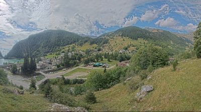
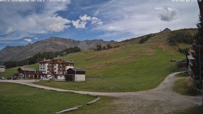
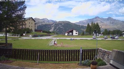

Built around former mining settlements in Val Ferrera, Ferrera grew into the municipality created in 2008 through the union of Ausserferrera and Innerferrera. The Averser Rhein runs through this narrow Graubünden valley before joining the Hinterrhein near the Rofla Gorge. Iron ore was mined here for centuries, leaving a legacy associated with Bellaluna, a former industrial site in the valley. Ferrera is defined by steep slopes, scattered hamlets and the road leading towards the high Avers valley. View additional webcams nearby to better understand how Val Ferrera relates to the surrounding Hinterrhein region.
1 webcam
The terrain of Grisons ranges from high Alpine valleys in the south to the broad Rhine valley in the north, shaping Switzerland’s largest and most linguistically diverse canton. The Inn flows through the Engadin, while the Rhine has long connected Chur, the cantonal capital, with the rest of central Europe. Romansh remains a defining regional language alongside German and Italian. The Rhaetian Railway’s Albula and Bernina lines, recognised by UNESCO, cross dramatic mountain country with remarkable engineering. Browse further webcams from the area to trace how this corner of eastern Switzerland links with neighbouring Alpine regions.
136 webcams
Switzerland stretches from the Jura Mountains in the northwest to the Alps in the south, encompassing a central plateau of cities, farms and lakes. The Rhine rises in the Swiss Alps, while Lake Geneva forms part of the country’s southwestern border. Zürich, Geneva and Basel are major urban centres, yet mountain railways and passes remain central to how many regions are experienced. Four national languages—German, French, Italian and Romansh—reflect Switzerland’s distinct cantonal identities. The Matterhorn above Zermatt is among Europe’s most recognisable peaks, and the 1291 Federal Charter is closely associated with the country’s founding tradition. Continue through nearby webcams to explore different parts of Switzerland.
1K webcams