 Sylt: Rantum: Livespotting - Live vom endlosen feinen Sandstrand in - auf SYLT
Sylt is best known within Germany for its long North Sea beaches, which run along the exposed western side of this narrow Frisian island. Around Rantum, a broad sandy shore and low dunes separate the open coast from the sheltered Wadden Sea to the east; this tidal area forms part of Schleswig-Holstein Wadden Sea National Park. Sylt’s geography has made it a major seaside resort, but the island also retains a distinct Frisian identity. Söl'ring, Sylt’s local North Frisian dialect, is part of that heritage. The coast near Rantum lies amid beach, dunes and tidal flats, illustrating why the island is valued both for holidays and protected shore habitats.
Generated by AI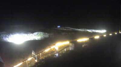
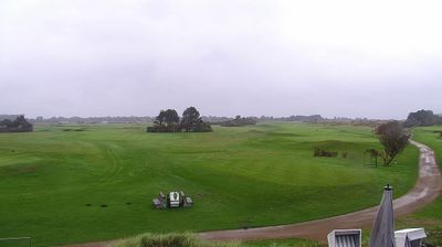
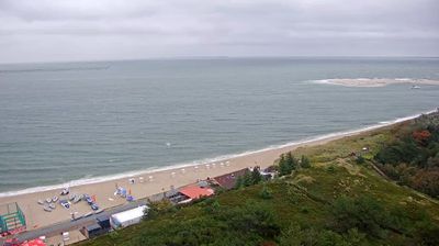
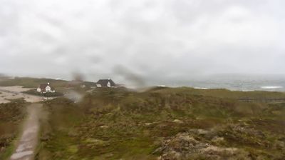

Sylt is best known within Schleswig-Holstein for its long North Sea beaches, dune belts and exposed island coastline. Germany’s northernmost island lies off the Jutland Peninsula, with the Wadden Sea stretching along its eastern side; this tidal environment forms part of the UNESCO-listed Wadden Sea. Westerland is Sylt’s principal resort town, while Kampen is associated with thatched houses and the Rotes Kliff, a striking red cliff on the west coast. The Hindenburgdamm railway causeway has connected the island to the mainland since 1927, underlining Sylt’s close links with the region. View additional webcams nearby to better understand how Sylt’s North Sea setting relates to the Wadden Sea and mainland Schleswig-Holstein.
6 webcams
Schleswig-Holstein blends maritime openness with rural calm in a way that reflects its position between the North Sea and the Baltic Sea. Germany’s northernmost state borders Denmark and stretches across low farmland, marshes, sandy shores and islands. The Kiel Canal crosses the region, linking the North Sea at Brunsbüttel with the Baltic near Kiel. On the west coast, the tidal flats of the Wadden Sea form part of a UNESCO World Heritage site. Lübeck’s historic centre, shaped by the Hanseatic League and Brick Gothic architecture, adds an important urban counterpoint. Browse additional webcams from the surrounding area to extend your view of Schleswig-Holstein.
129 webcams
Germany stretches from the North Sea and Baltic Sea coasts to the Alps on its southern border, encompassing northern plains, river valleys and forested uplands. The Rhine, Danube and Elbe have long connected its regions, while the Black Forest and Bavarian Alps give the south a more dramatic relief. Berlin’s Brandenburg Gate and Museum Island reflect the capital’s role in German history and culture. Cologne Cathedral, a UNESCO World Heritage Site, rises above the Rhine, and the Bauhaus movement, founded in Weimar in 1919, transformed modern design far beyond Germany. Regional cooking, Christmas markets and brewing traditions bring further character to daily life. Browse additional webcams from the surrounding area to extend your view of Germany.
2.8K webcams