 MZ Trebevic: Trebević
Built around forest clearings and mountain roads, Trebević grew into a popular recreation area above Sarajevo. This wooded massif in the Dinaric Alps rises southeast of Bosnia and Herzegovina’s capital and forms one of the city’s nearest mountain retreats. The Brus area brings together paths, picnic facilities and a restaurant, extending urban leisure into a forest setting. Trebević also carries the legacy of the 1984 Sarajevo Winter Olympics: its slopes were developed for the Olympic bobsleigh and luge track. Woodland, open recreation grounds and mountain terrain give the area a distinctly different rhythm from densely built Sarajevo while keeping it closely tied to the city.
Generated by AI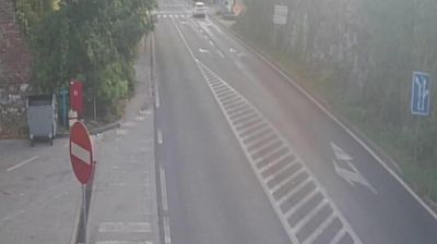
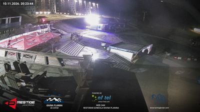

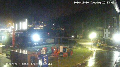
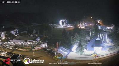

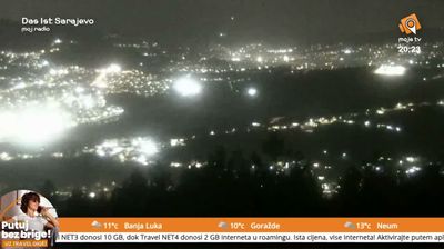



The landscape around MZ Trebevic is defined by wooded Dinaric slopes above Sarajevo, which have shaped both dispersed settlement and an economy tied to mountain recreation. Trebević rises directly south of Bosnia and Herzegovina’s capital, while the Miljacka River runs through Sarajevo below its northern slopes. The mountain is closely associated with the 1984 Winter Olympics: its concrete bobsleigh and luge track, built for the Games, remains a striking structure in the forest. The Trebević cable car links Sarajevo’s historic centre with the mountain, placing the Dinaric highlands within easy reach of the city. Continue with other webcams from the Sarajevo area to see how Trebević connects the city with the surrounding Dinaric mountains.
1 webcam
Republika Srpska extends from the Sava River on Bosnia and Herzegovina’s northern frontier to the Drina along much of its eastern border, encompassing Dinaric hills, broad river valleys and fertile northern plains. It is one of the country’s two entities, as set out by the 1995 Dayton Peace Agreement, and its territory is not continuous: a western area around Banja Luka is separated from the eastern portion. The Vrbas runs through Banja Luka, the entity’s administrative centre, where Kastel Fortress recalls the city’s long strategic position on the river. Orthodox churches, monasteries and family food traditions remain an important part of local identity. Browse nearby webcams to discover different parts of Republika Srpska.
20 webcams
Bosnia and Herzegovina is best known internationally for Mostar’s Old Bridge, the stone arch over the Neretva River rebuilt after the 1990s war. The country lies in the Dinaric Alps, where karst plateaus, steep valleys and fast rivers shape much of the terrain. Sarajevo combines Ottoman-era lanes in Baščaršija with Austro-Hungarian architecture, reflecting its role as a meeting point of cultural traditions. In the south, the Neretva valley leads towards a short Adriatic coastline near Neum, while the Una River is known for its waterfalls. Browse additional webcams from the surrounding area to extend your view of Bosnia and Herzegovina.
97 webcams