 Hachioji: Tama River
The landscape around Hachioji is a low, river-cut basin on Tokyo’s western edge, which has shaped both the built environment and local life. The Asakawa runs through the city before joining the Tama River, and its broad, managed banks create a clear division between neighbourhoods, fields and roads. Hachioji stands where the Kanto Plain meets the approaches to the Okutama Mountains, giving this part of metropolitan Tokyo a transitional character. The city grew as Hachioji-juku, a post station on the Koshu Kaido, the Edo-period road toward Kai Province. It later became an important centre for silk and textile production, a commercial heritage still closely associated with Hachioji. Along the Asakawa, flood-control works and vegetated shallows illustrate how an urban river is accommodated within a densely settled region.
Generated by AI


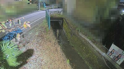
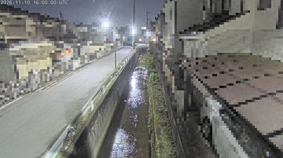


Hachioji sits at the foot of the Kanto Mountains in western Tokyo, Japan, where urban neighbourhoods meet the wooded approaches to Mount Takao. The city developed as a centre of silk and textile production, a legacy still associated with its long-established weaving trade. Mount Takao, one of Tokyo’s most popular hiking destinations, rises nearby and is home to Yakuoin Temple, founded in the eighth century. Hachioji Castle ruins on the surrounding slopes recall the area’s role during the late Sengoku period. The annual Hachioji Festival brings decorated floats and portable shrines into the city centre. Discover further points of interest through webcams located across Hachioji and western Tokyo.
4 webcams
Tokyo stretches from the Okutama Mountains to the Izu and Ogasawara island groups, encompassing urban lowlands, forested uplands and volcanic Pacific islands. These coordinates fall on Izu Oshima, the largest of the Izu Islands, where Mount Mihara forms the island’s volcanic core. Black-sand shores and lava terrain contrast with the capital’s built-up centre, showing how far Tokyo’s administrative territory reaches into the ocean. Izu Oshima is closely associated with camellias, and Oshima Tsubaki oil remains a recognised local product. Ferry links from the mainland make the island part of Tokyo’s wider maritime setting. See how Tokyo connects mainland Japan with its Pacific islands by browsing webcams nearby.
222 webcams
Among the countries of East Asia, Japan stands out for its volcanic archipelago, stretching from the cool north of Hokkaido to subtropical Okinawa. Mount Fuji, the nation’s highest mountain, rises above central Honshu, while the Pacific Ocean and the Seto Inland Sea have long shaped settlement, fishing and travel. Tokyo pairs dense urban life with major museums and neighbourhood traditions; Kyoto preserves temples, gardens and the legacy of Japan’s imperial court. Seasonal customs give journeys a changing rhythm, from spring cherry blossom viewing to autumn leaves. Regional cooking is equally varied, with sushi, ramen and local specialties reflecting coastlines, climate and agriculture. Explore nearby webcam locations that provide complementary perspectives on Japan’s islands, cities and mountain regions.
1.3K webcams