 Fussa: Tama River
The landscape around Fussa is a broad, green river corridor on Tokyo’s western edge, which has shaped both the built environment and local life. The Tama River rises in the mountains of Yamanashi Prefecture and reaches Tokyo Bay after 138 kilometres; at Fussa, its course is lined by levees, riverside vegetation and urban neighbourhoods. Parks and playing fields occupy parts of the floodplain, while bridges link the banks across this heavily settled section of metropolitan Tokyo. Fussa is also defined by Yokota Air Base, whose surroundings have restaurants and shops influenced by American culture. Ishikawa Brewery, founded in 1863, maintains a local brewing tradition with sake and beer. The city brings together a working river landscape, suburban infrastructure and an international community.
Generated by AI

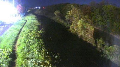
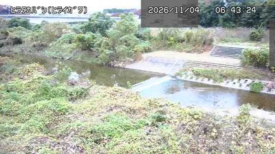
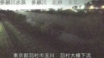
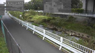
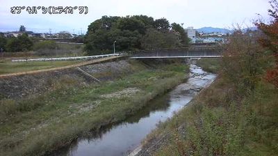

Among Tokyo's cities, Fussa stands out for its close association with Yokota Air Base, a major installation used by the United States and Japan. The Tama River follows the city’s southern side, bringing a broad riverside corridor to this western part of the metropolis. Yokota hosts the headquarters of U.S. Forces Japan and the Fifth Air Force, and the base has helped shape Fussa’s international atmosphere, especially near its main gates. Elsewhere, the old Ōme Kaidō route and Ishikawa Brewery in Kumagawa reflect a longer local tradition of commerce and sake making. Explore nearby webcam locations that provide complementary perspectives on Fussa, the Tama River, and western Tokyo.
1 webcam
Tokyo stretches from the Okutama Mountains to the Izu and Ogasawara island groups, encompassing urban lowlands, forested uplands and volcanic Pacific islands. These coordinates fall on Izu Oshima, the largest of the Izu Islands, where Mount Mihara forms the island’s volcanic core. Black-sand shores and lava terrain contrast with the capital’s built-up centre, showing how far Tokyo’s administrative territory reaches into the ocean. Izu Oshima is closely associated with camellias, and Oshima Tsubaki oil remains a recognised local product. Ferry links from the mainland make the island part of Tokyo’s wider maritime setting. See how Tokyo connects mainland Japan with its Pacific islands by browsing webcams nearby.
212 webcams
Among the countries of East Asia, Japan stands out for its volcanic archipelago, stretching from the cool north of Hokkaido to subtropical Okinawa. Mount Fuji, the nation’s highest mountain, rises above central Honshu, while the Pacific Ocean and the Seto Inland Sea have long shaped settlement, fishing and travel. Tokyo pairs dense urban life with major museums and neighbourhood traditions; Kyoto preserves temples, gardens and the legacy of Japan’s imperial court. Seasonal customs give journeys a changing rhythm, from spring cherry blossom viewing to autumn leaves. Regional cooking is equally varied, with sushi, ramen and local specialties reflecting coastlines, climate and agriculture. Explore nearby webcam locations that provide complementary perspectives on Japan’s islands, cities and mountain regions.
1.3K webcams