 Twardogora: Urząd Miasta i Gminy w Twardogórze
The Twardogóra Hills define the setting of Twardogóra — their gently rolling terrain gives the town a different profile from the broader lowlands of Lower Silesia. The Urząd Miasta i Gminy w Twardogórze forms part of its civic centre, where public buildings and residential streets meet around a compact paved square. Twardogóra serves the surrounding municipality rather than functioning as a large urban centre, which lends its core a practical, everyday scale. The town was known by the German name Festenberg in earlier periods, a reminder of Lower Silesia’s shifting political past. Tree-lined streets and close-set buildings underline the character of a small Polish town connected to its region.
Generated by AI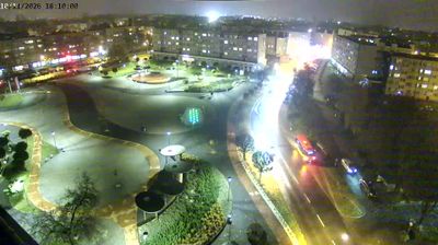


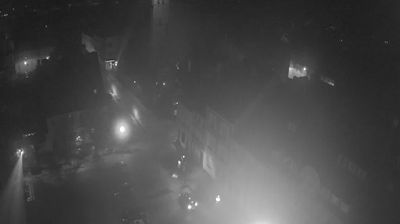
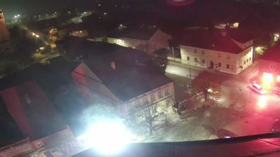


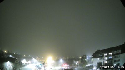

Twardogóra occupies the wooded Twardogóra Hills in northeastern Lower Silesia. This small town stands in a transition zone between the lowland landscapes of Silesia and the gently rolling Trzebnica Hills, with extensive forests shaping the character of the surrounding area. Known as Festenberg during periods of German rule, Twardogóra reflects the layered history of this borderland region. Its central market square and the Church of the Holy Trinity mark the long-established civic core, while local roads and rail links connect it with Oleśnica and other Lower Silesian towns. Browse nearby webcams to place Twardogóra within the wider Lower Silesian landscape.
1 webcam
Among the regions of Poland, Lower Silesian Voivodeship stands out for the meeting of the Sudetes, the Oder valley and historic Wrocław. Its southern edge reaches the Karkonosze range, where Śnieżka rises as the highest peak of the Sudetes, while broad lowlands and river corridors shape the north. Wrocław is the regional centre, known for its Market Square, the cathedral district of Ostrów Tumski and the UNESCO-listed Centennial Hall. Further west, Książ Castle near Wałbrzych recalls the area’s long Silesian past. Browse additional webcams around the region to extend your view of Lower Silesia.
74 webcams
Poland stretches from the Baltic Sea coast in the north to the Carpathian Mountains along its southern frontier, encompassing broad lowlands, lake districts and upland ranges. The Vistula, the country’s longest river, links Kraków and Warsaw before reaching the Baltic near Gdańsk, while the Masurian Lake District is defined by a dense network of lakes. Kraków’s historic centre, including Wawel Castle, recalls Poland’s former royal capital; Warsaw’s rebuilt Old Town speaks to the city’s recovery after the Second World War. The Białowieża Forest preserves one of Europe’s last primeval lowland forests and is home to European bison. Follow how Poland’s regions relate to one another by browsing webcams across the country.
718 webcams