 Landvetter: Rådasjön Väst
The landscape around Landvetter is forested and gently rolling, which has shaped both the built environment and local life. This inland part of Västra Götaland lies east of Gothenburg, where woodland and lakes around Rådasjön meet an important transport corridor. Route 40 runs between Gothenburg and Borås and provides the main road connection towards Göteborg Landvetter Airport, Sweden’s second-busiest airport. The airport opened in 1977, replacing the former Torslanda Airport. Landvetter is part of Härryda Municipality, where homes, workplaces and transport infrastructure are dispersed among extensive woods rather than arranged in a continuous urban grid. The area links Gothenburg’s metropolitan reach with quieter lake-and-forest country.
Generated by AI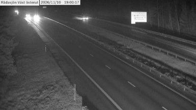
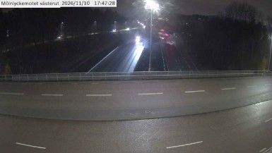
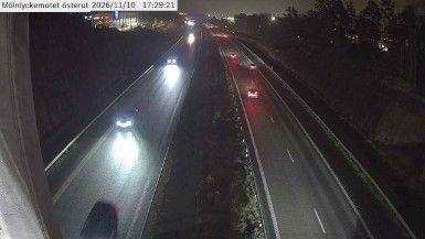
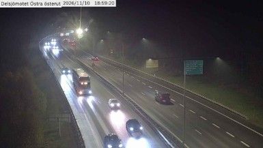
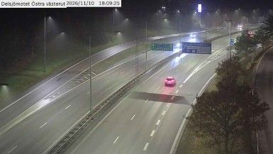

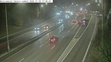


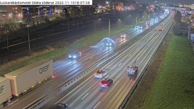

The landscape around Landvetter is wooded and dotted with lakes, which has shaped both the town’s spread-out form and local economy. Lake Landvettersjön lies beside the community, giving this part of Västra Götaland a distinctly inland character despite Gothenburg’s relative proximity. Landvetter belongs to Härryda Municipality and is closely associated with Göteborg Landvetter Airport, Sweden’s second-busiest airport and an important transport hub for western Sweden. The local church remains a familiar landmark in the settled centre, while forests and water frame the residential areas beyond it. Find related webcams in the surrounding area to build a fuller picture of Landvetter and the lake country east of Gothenburg.
3 webcams
Västra Götaland County has served as an administrative region within Sweden since 1998. It brings together the historic provinces of Västergötland, Bohuslän and Dalsland, extending from the Skagerrak coast to the shores of Lake Vänern, Sweden’s largest lake. Gothenburg, Sweden’s second-largest city, is its urban centre and a major port on the Göta älv. Along the coast, the Bohuslän archipelago is defined by granite islands and fishing communities, while inland waterways around Trollhättan connect Vänern with the west coast. Läckö Castle, on the shore of Vänern, recalls the region’s early-modern aristocratic past. Trace Västra Götaland County’s place in western Sweden by browsing webcams across the region.
399 webcams
Sweden combines Baltic coastal life with Arctic expanses in a way that reflects its position within northern Europe. Forests, lakes and long shorelines define much of the country, from Lake Vänern in the south to the Gulf of Bothnia and the mountains along the Norwegian border. Stockholm spreads across islands where Lake Mälaren meets the Baltic Sea, while the preserved 17th-century warship at the Vasa Museum recalls Sweden’s era as a major European power. Midsummer celebrations and the traditions of the Sámi people add further depth to its regional identity. Browse other webcams across Sweden to place this setting in a wider geographic context.
987 webcams