 Lesjaskog: Lesjaskogsvatnet
Built around lakeside farms beside Lesjaskogsvatnet, Lesjaskog grew into a small settlement in the broad upper valley of Lesja. The lake lies in Innlandet's mountain interior and feeds the Rauma, whose valley continues west towards Romsdal. Forested slopes meet the water, while rounded mountains frame a settled corridor crossed by the E136 and the Raumabanen railway between Dombås and Åndalsnes. This is a working rural landscape shaped by pasture, woodland and long-distance transport rather than a resort centre. Lesjaskog Church, a wooden parish church, is a local cultural landmark.
Generated by AI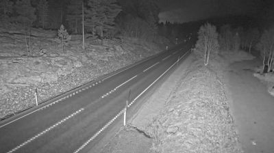

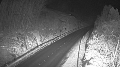
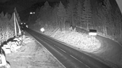
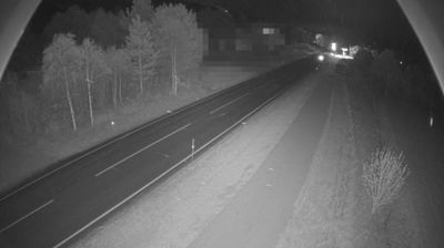

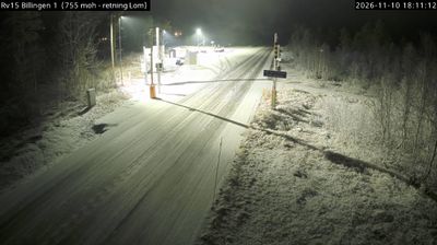
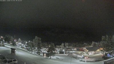
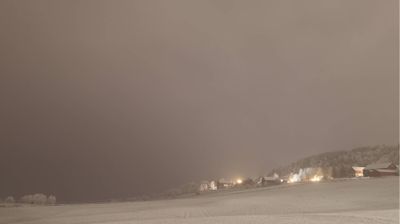


The terrain around Lesjaskog is a broad, high valley centred on Lake Lesjaskogsvatnet, which has shaped both the dispersed settlement pattern and local farming. The lake is the source of the Rauma River, which flows west through Romsdalen towards the Norwegian coast. Lesjaskog lies in Lesja municipality, where the E136 road and Raumabanen railway create an important connection between eastern Norway and Åndalsnes. Completed in 1924, the railway adds a distinct transport-history element to this sparsely settled mountain district. View additional webcams nearby to better understand how Lesjaskog and the Lesja valley relate to their mountain surroundings.
1 webcam
Among the regions of Norway, Innlandet stands out for its broad inland sweep of lakes, forests and mountain valleys. Lake Mjøsa, Norway’s largest lake, forms an important southern focal point, while the Gudbrandsdalen valley follows the Lågen north towards higher country. Lillehammer gives the area an international reference point: it hosted the 1994 Winter Olympics, and its Maihaugen open-air museum presents buildings and everyday traditions from across Norway. Farther north, Rondane National Park protects a high-mountain landscape associated with wild reindeer. This is a region of farms, timber country and transport routes linking Oslo with central Norway. Browse additional webcams from the surrounding area to extend your view of Innlandet.
181 webcams
Norway has served as a seafaring link between the North Atlantic and northern Europe since the Viking Age. Its long coastline is cut by fjords, while the Lofoten archipelago rises sharply from the Norwegian Sea and the mountains of Jotunheimen include Galdhøpiggen, Norway’s highest peak. Bergen’s Bryggen, the former Hanseatic wharf, recalls centuries of maritime trade. Farther north, Sámi culture remains an essential part of the country’s identity. Explore nearby webcam locations that provide complementary perspectives on Norway’s coast, fjords and mountain regions.
1.5K webcams