 Melvin: 8110 Washington St
Melvin is best known within Michigan’s Thumb for its setting in the working farmland of Sanilac County. This small community lies in Speaker Township, part of a broad agricultural belt where fields, sheltering tree lines and low-density homes shape the terrain. Lake Huron is the dominant Great Lake on the eastern side of the Thumb, while Melvin sits inland among the county’s rural roads. Washington Street forms part of the settlement’s local street network, emphasizing a scale defined by everyday residential and farm-country life rather than major visitor infrastructure. Sanilac County’s communities are tied to the long-established agricultural economy of eastern Michigan, with crops and livestock sustaining the surrounding countryside.
Generated by AI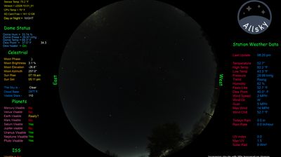

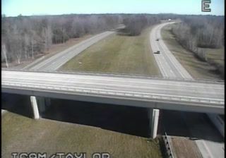



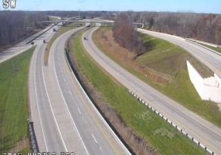
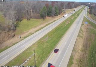

The landscape around Melvin is a level expanse of central Illinois prairie and farmland, which has shaped both the village’s compact layout and its agricultural economy. In Ford County, broad fields of corn and soybeans extend beyond residential blocks, placing Melvin within the Midwest’s major grain-growing belt. Illinois Route 47 passes through the community, linking it with nearby small towns and the wider road network. Its orderly street grid and low-rise homes reflect the practical form of many rural Illinois settlements. Continue with other webcams from the area to see how this part of Ford County connects regionally.
1 webcam
Illinois has served as a frontier within the United States since the early nineteenth century. Its broad central plains, including the area around Springfield, contrast with the urban scale of Chicago on Lake Michigan. The Mississippi River forms much of the western state boundary, while the Illinois River crosses the interior toward the Mississippi. Springfield is closely associated with Abraham Lincoln, who lived and worked there before becoming president; his home and presidential library are major civic landmarks. Farming remains central to the state’s identity, alongside manufacturing, transport, and the cultural influence of Chicago. Browse additional webcams from the surrounding area to extend your view of Illinois.
53 webcams
The Atlantic, Pacific and Gulf coasts define much of the United States — their ports, fisheries and trade routes have long tied the country’s economy to the wider world. Between them, the Rocky Mountains, Great Plains and Mississippi River basin form sharply different regions, from high western ranges to broad agricultural heartlands. Cities carry much of the national story: New York’s Statue of Liberty, a gift from France dedicated in 1886, remains an enduring symbol, while Washington, DC concentrates major federal institutions. Indigenous nations have shaped these lands for millennia, and their living cultures remain essential to the country’s identity. Find related webcams in the surrounding areas to build a fuller picture of the United States.
32K webcams