 Pembina: Route 29
Among the border communities of North Dakota, Pembina stands out for its position at the northern terminus of Interstate 29. The town lies beside the Red River, which forms the North Dakota–Minnesota boundary here, near the Canadian province of Manitoba. This is a notably level section of the Red River Valley, a broad agricultural plain shaped by an ancient glacial lake. Interstate 29 makes Pembina a key road approach to the Pembina–Emerson port of entry, linking the central United States with Manitoba. The Pembina State Museum recalls the area’s Indigenous, fur-trade and borderland past, while the town’s setting remains defined by grain fields, freight traffic and the long, straight geometry of the northern plains.
Generated by AI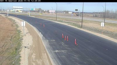

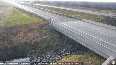
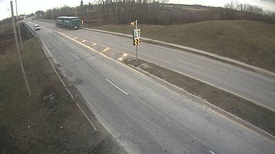
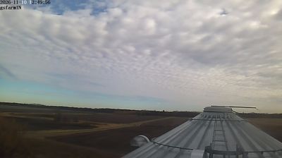

Built around the meeting of the Red and Pembina rivers, Pembina grew into a small North Dakota border community beside Manitoba. The town occupies a long-used corridor of the Red River Valley, where Indigenous peoples, Métis traders and fur-trade routes shaped cross-border life well before the modern boundary. Fort Pembina, established by the U.S. Army in 1870, once stood here to oversee the frontier. Today, Pembina is a practical stop along Interstate 29 and a reminder that this broad agricultural valley has long connected communities on both sides of the river. Browse additional webcams nearby to see how Pembina and the Red River Valley connect with the surrounding plains.
1 webcam
North Dakota is best known within the United States for Theodore Roosevelt National Park’s eroded Badlands. Across the state, prairie, rolling plains and broad agricultural country are cut by the Missouri River, whose impoundment forms Lake Sakakawea, one of the nation’s largest reservoirs. Bismarck, the state capital, stands on the river’s east bank, while Knife River Indian Villages National Historic Site preserves an important landscape of Mandan, Hidatsa and Arikara history. Farther west, the Little Missouri River shapes the badlands associated with Theodore Roosevelt’s ranching years. Discover other points of interest through webcams located across North Dakota.
23 webcams
The Atlantic, Pacific and Gulf coasts define much of the United States — their ports, fisheries and trade routes have long tied the country’s economy to the wider world. Between them, the Rocky Mountains, Great Plains and Mississippi River basin form sharply different regions, from high western ranges to broad agricultural heartlands. Cities carry much of the national story: New York’s Statue of Liberty, a gift from France dedicated in 1886, remains an enduring symbol, while Washington, DC concentrates major federal institutions. Indigenous nations have shaped these lands for millennia, and their living cultures remain essential to the country’s identity. Find related webcams in the surrounding areas to build a fuller picture of the United States.
32K webcams