 Rockville: Idaho - US95 at Ion Summit SB
Ion Summit is best known in southwestern Idaho for carrying U.S. Route 95 across the open uplands of Owyhee County. This stretch belongs to Idaho’s sparsely settled high desert, a country of rounded, treeless ridges and wide basins rather than the irrigated farmland of the Snake River Plain farther north. U.S. 95 is Idaho’s principal north–south highway, linking communities from the Oregon line through the state toward Canada and passing through some of its most remote territory. The summit lies in Owyhee County, whose name preserves “Owyhee,” a nineteenth-century term used in the American West for Hawaii, recalling the Hawaiian fur trappers associated with the region’s early exploration. Long grades and exposed terrain convey the scale of southwestern Idaho’s interior.
Generated by AI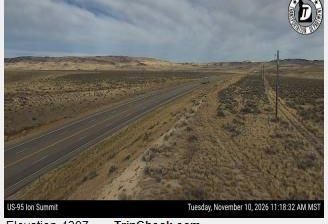
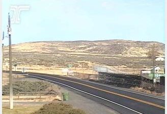
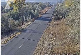
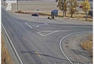

Rock Creek and its tributary valleys define the setting of Rockville — their wooded corridors run through a suburban city that serves as Montgomery County’s administrative center. Just northwest of Washington, D.C., Rockville developed around its courthouse district and the rail corridor now used by MARC commuter trains and Washington Metro’s Red Line. The Beall-Dawson House, built in 1815, preserves an early local landmark near the center; its grounds also include the Stonestreet Medical Museum. Rockville Town Square brings shops, restaurants and gathering space to downtown. View additional webcams nearby to better understand how Rockville and Montgomery County relate to the Washington metropolitan area.
2 webcams
Maryland is widely known in the United States for Chesapeake Bay, the vast estuary that shapes much of its eastern shore. The state extends from Atlantic beaches and tidal wetlands across the bay’s low-lying Eastern Shore to rolling Piedmont country and the forested Appalachian west. Baltimore, its largest city, developed around a major harbor on the Patapsco River; Annapolis, the capital, is home to the United States Naval Academy. Seafood, particularly blue crabs, is central to Maryland’s food traditions, while the Chesapeake and Ohio Canal follows part of the Potomac River corridor. See Maryland in its wider Mid-Atlantic setting by browsing webcams nearby.
28 webcams
The Atlantic, Pacific and Gulf coasts define much of the United States — their ports, fisheries and trade routes have long tied the country’s economy to the wider world. Between them, the Rocky Mountains, Great Plains and Mississippi River basin form sharply different regions, from high western ranges to broad agricultural heartlands. Cities carry much of the national story: New York’s Statue of Liberty, a gift from France dedicated in 1886, remains an enduring symbol, while Washington, DC concentrates major federal institutions. Indigenous nations have shaped these lands for millennia, and their living cultures remain essential to the country’s identity. Find related webcams in the surrounding areas to build a fuller picture of the United States.
32K webcams