 Ascou: Ascou-Pailhères
Ascou-Pailhères occupies a forested mountain valley in the eastern Pyrenees of Ariège, Occitanie. This compact ski area stands close to the village of Ascou, in a rugged upland landscape shaped by steep slopes and dense woodland. Its lifts and pistes run through beech and fir forest before reaching the higher mountains around the Col de Pailhères. At 2,001 metres, the pass is among the highest road crossings in the French Pyrenees and has featured on Tour de France routes. Ascou-Pailhères retains a distinctly local scale, where mountain roads, small settlements and winter-sports infrastructure sit closely within the terrain. The forests and lakes of the Ariège Pyrenees give the wider area an appeal beyond its ski runs.
Generated by AI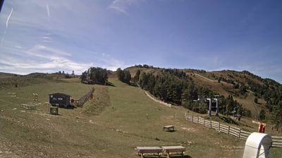
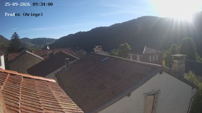
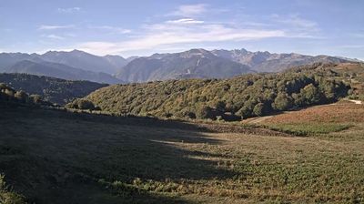
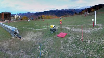
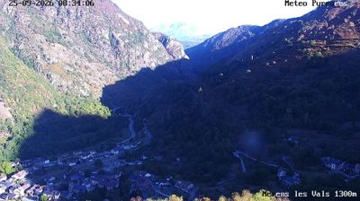
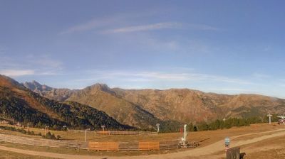
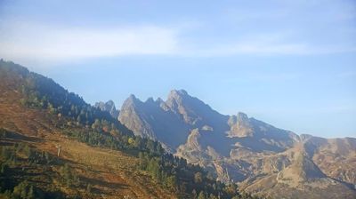




Built around a mountain route through the Ariège Pyrenees, Ascou developed into a small highland commune in Occitania. The settlement lies among steep, wooded slopes near the Col de Pailhères, a 2,001-metre pass connecting the upper valleys of Ariège and Aude. In winter, the Ascou-Pailhères ski area brings activity to the mountains; in warmer months, the same roads draw cyclists and walkers. Ascou belongs to the historic lands of the former County of Foix, whose medieval legacy is deeply rooted across this Pyrenean border region. Scattered hamlets and upland pastures give the commune a distinctly rural character. Continue through nearby webcams to explore different parts of the Ariège Pyrenees.
1 webcam
Occitania occupies a broad southern belt in France, extending from the Massif Central and the Pyrenees to the Mediterranean coast. These coordinates lie in the inland Haut-Languedoc area, where wooded hills and reservoirs around the upper Agout contrast with coastal plains farther east. Toulouse, the regional capital, stands on the Garonne and is associated with the Canal du Midi, a 17th-century waterway linking the city with the Mediterranean and listed as a UNESCO World Heritage Site since 1996. Roman sites, fortresses connected with the Cathar past, and the Occitan language tradition reveal the many layers of southern French identity. Continue through nearby webcams to explore different parts of Occitania.
214 webcams
The Atlantic and Mediterranean coastlines, together with the Alps, Pyrenees and broad river basins, define much of France — they support maritime trade, farming, wine regions and travel throughout the year. The Seine runs through Paris, where the Eiffel Tower and the Louvre are among Europe’s most recognised landmarks. The Loire Valley is known for Renaissance châteaux, while Mont-Saint-Michel rises from a tidal bay in Normandy. Regional food traditions are equally distinctive, from Breton seafood to Provençal cooking, with bread, cheese and wine central to everyday life. France’s global cultural influence is evident in its language, literature, fashion and cinema. View additional webcams nearby to better understand how France’s coasts, plains and mountain borders relate to their surroundings.
2.1K webcams