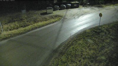
 Vora: Tie 7763 - Österö - Kaitsor
Set amid the low-lying Ostrobothnian plain near the Gulf of Bothnia, Vörå is a place whose character is shaped by a mosaic of woodland, fields and dispersed settlements. Known in Finnish as Vöyri, it lies in western Finland’s Swedish-speaking coastal belt, where Swedish is the municipality’s majority language. The present municipality was established in 2011 through the merger of Vörå-Maxmo and Oravais, bringing inland farming districts and coastal communities under one administration. Quiet local roads thread between forests and cultivated ground, while the Gulf of Bothnia links this part of Ostrobothnia with the Baltic Sea.
Generated by AI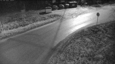
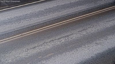
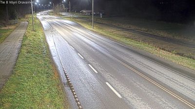

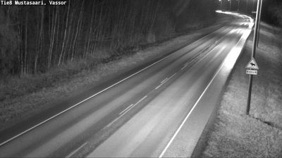
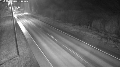
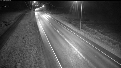


Vöyri lies along the Vörå River in Ostrobothnia, where low farmland and forested stretches lead toward the Kvarken coast of the Gulf of Bothnia. The bilingual municipality has a pronounced Swedish-speaking character, reflected in the name Vörå and local daily life. Its present-day area includes Oravais, the site of the Battle of Oravais in 1808, fought during the Finnish War. Nearby, the Kvarken Archipelago is part of a UNESCO World Heritage landscape shaped by ongoing post-glacial land uplift. Discover further points of interest through webcams across Vöyri and Ostrobothnia.
6 webcams
Ostrobothnia stretches from the Gulf of Bothnia coast to the inland forest belt, encompassing broad farmland, river valleys and a low, gradually rising shoreline. Vaasa, the regional centre, reflects the area’s bilingual Finnish and Swedish-speaking character. Offshore, the Kvarken Archipelago is part of the UNESCO-listed High Coast/Kvarken Archipelago, recognised for land uplift that continues to reshape its shallow waters and islands. The coast is also linked by ferry to Umeå in Sweden, underlining Ostrobothnia’s long connection with the wider Gulf of Bothnia. Discover other points of interest through webcams located across Ostrobothnia.
81 webcams
The terrain of Finland ranges from low coastal plains along the Gulf of Bothnia to fells in Lapland, creating a country of forests, lakes and long northern distances. More than 180,000 lakes shape everyday life, while the Lakeland region is threaded with waterways and islands. Helsinki, on the Gulf of Finland, combines neoclassical landmarks around Senate Square with contemporary Finnish design. Farther north, the Sámi are Finland’s only recognised Indigenous people, and their culture remains closely connected to the Arctic region. In winter, snow and ice transform the north; in summer, long daylight extends outdoor life well into the evening. Continue through nearby webcams to explore different parts of Finland.
1.7K webcams