 Helsinki: Vuosaari - Baltic Sea
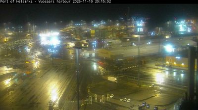
Built around the mouth of the Vantaa River, Helsinki grew into Finland’s capital and largest city. Vuosaari lies on the eastern Baltic Sea shore, where apartment districts, wooded coasts and low islands meet the waters of the Gulf of Finland. The district includes Vuosaari Harbour, opened in 2008 as a major cargo port for the Helsinki region, while its coastline remains an important part of local outdoor life. Helsinki’s position between Sweden and Russia shaped its history: Suomenlinna, a sea fortress spread across islands off the city centre, is a UNESCO World Heritage Site. Vuosaari provides a residential maritime side of a capital defined by its long, island-dotted shoreline.
Generated by AI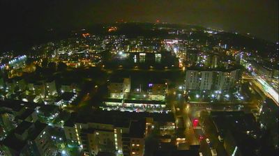
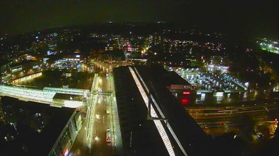


Helsinki sits on the Gulf of Finland in southern Finland, where a low peninsula and a scatter of Baltic islands shape the capital’s waterfront. Founded in 1550, the city became Finland’s capital in 1812 and developed a distinctive neoclassical centre around Senate Square. Helsinki Cathedral presides over that square, while the harbour-side Market Square connects central streets with ferries and maritime life. Offshore, the island fortress of Suomenlinna was begun in 1748 and is now a UNESCO World Heritage Site. Trams, public saunas and an active design culture give the compact centre a strongly Finnish rhythm. Browse additional webcams from the surrounding area to extend your view of Helsinki and southern Finland.
31 webcams
The terrain of Uusimaa ranges from a low, island-dotted coast in the south to wooded uplands and lake country in the north, binding Finland’s capital region to the Gulf of Finland. Helsinki, the national capital, is its urban centre, while the coast extends through the municipalities of Espoo and Porvoo. Suomenlinna, the sea fortress off Helsinki and a UNESCO World Heritage Site, recalls Sweden’s 18th-century rule; the medieval Porvoo Cathedral and old town add another historic strand. Inland, Nuuksio National Park protects a mosaic of forest, lakes and rocky terrain close to the metropolitan area. Explore additional nearby webcams to see how Uusimaa connects with the Gulf of Finland and southern Finland.
203 webcams
The terrain of Finland ranges from low coastal plains along the Gulf of Bothnia to fells in Lapland, creating a country of forests, lakes and long northern distances. More than 180,000 lakes shape everyday life, while the Lakeland region is threaded with waterways and islands. Helsinki, on the Gulf of Finland, combines neoclassical landmarks around Senate Square with contemporary Finnish design. Farther north, the Sámi are Finland’s only recognised Indigenous people, and their culture remains closely connected to the Arctic region. In winter, snow and ice transform the north; in summer, long daylight extends outdoor life well into the evening. Continue through nearby webcams to explore different parts of Finland.
1.7K webcams