 Doliana: Tringía
Tringía sits in the Pindus Mountains of Greece, where rocky highlands rise above the scattered settlements of the Doliana area. Reaching 2,204 metres, this summit belongs to the rugged mountain country spanning the boundary between Thessaly and Epirus. Its open upper slopes and stony ground form part of a broad chain of ridges rather than an isolated peak, with successive mountain folds extending across central Greece. The wider Pindus has long supported seasonal pastoralism, as herders traditionally moved flocks between lowland and highland grazing areas. Tringía is defined as much by this working mountain landscape as by its remote, elevated terrain.
Generated by AI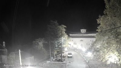
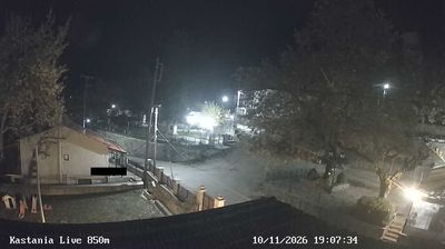

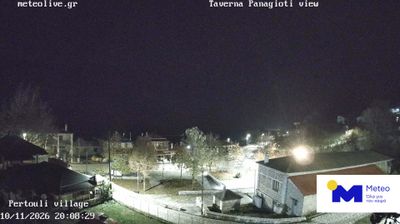
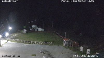

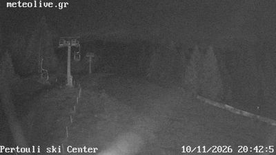
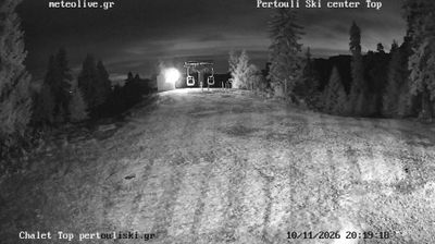

The landscape around Doliana is mountainous, with forested slopes and high pastures of the Pindus range, which has shaped both the compact settlement pattern and a local economy traditionally linked to grazing. The village lies in the Aspropotamos area, named for the upper course of the Acheloos River, one of Greece’s major waterways. Doliana forms part of a scattered network of mountain communities in the Trikala regional area, where stone-built houses and Orthodox churches reflect the building traditions of the interior. Browse additional webcams from the Aspropotamos area to extend your view of the Pindus mountains.
1 webcam
Thessaly and Central Greece occupy a broad central stretch of mainland Greece. The Thessalian Plain, long associated with farming, lies between the Pindus Mountains to the west and the Aegean coast to the east, while Central Greece reaches south toward Mount Parnassus and the Gulf of Corinth. In northern Thessaly, the monasteries of Meteora stand atop towering rock pillars and form a UNESCO World Heritage site. Farther south, Delphi, on Parnassus, was one of the most important sanctuaries of the ancient Greek world. Together these areas link cultivated plains, rugged ranges and historic towns. Trace how Thessaly and Central Greece connect across mainland Greece by browsing webcams nearby.
197 webcams
Greece occupies a mountainous peninsula and island-dotted coastline in southeastern Europe. The Aegean Sea shapes its eastern shore, while the Ionian Sea lies to the west; Crete is the country’s largest island. Athens is anchored by the Acropolis, where the Parthenon has stood since the fifth century BCE as a defining monument of classical antiquity. Beyond the capital, the Pindus Mountains run through the mainland, and Mount Olympus is associated in ancient Greek religion with the home of the gods. Greek food traditions centre on olive oil, seafood, cheeses and regional dishes, with long meals remaining an important part of social life. Continue through nearby webcams to explore the islands and mainland regions of Greece.
504 webcams