 Ostrozska Nova Ves: Kunovice Airport - Czechia
The Lower Morava Vale defines the setting of Ostrožská Nová Ves — this broad lowland gives the settlement open farmed horizons and gently rolling edges. The village stands in the Slovácko cultural region of south-eastern Moravia, where folk music, traditional dress and winegrowing customs remain important markers of local identity. Arable land forms much of the surrounding terrain, while lakes created by gravel extraction add a contrasting water landscape near the village. Ostrožská Nová Ves belongs to the Uherské Hradiště District, in the cultivated lowlands of the Morava basin and close to the transition toward the eastern hills.
Generated by AI

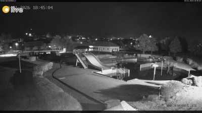
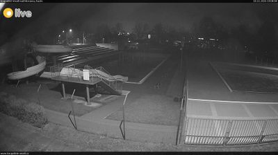

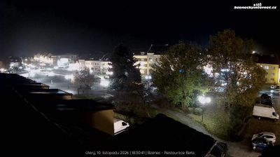
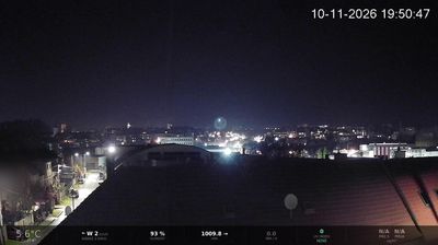



Ostrožská Nová Ves straddles the Morava River floodplain in the Zlín Region, a flat setting that has shaped its farming villages, waterways and lakes. It belongs to Slovácko, the south-eastern Moravian cultural region associated with folk music, costume and wine traditions. Lakes created by gravel extraction now form a notable part of the local recreation area, while the nearby Baťa Canal follows the Morava corridor. Built in the 1930s for transporting lignite, the canal is today used by pleasure boats. The village is also known for Sirnaté lázně, a spa using sulphurous mineral water. See how Ostrožská Nová Ves sits within the wider Morava valley by browsing webcams across Zlín Region.
1 webcam
Centred on the industrial city of Zlín and the valleys of eastern Moravia, Zlínský kraj developed into a distinct region of Czechia. Zlín is closely associated with the Bata shoe company, whose factory-led expansion gave the city its notable Functionalist architecture. To the east, the White Carpathians follow the Slovak border, while the Morava River crosses lowlands near Uherské Hradiště. Velehrad, one of the country’s important pilgrimage places, adds another dimension to the area’s Moravian identity. Browse webcams nearby to see how Zlínský kraj belongs to the wider landscape of eastern Moravia.
92 webcams
The terrain of Czechia ranges from fertile lowlands in southern Moravia to mountain ridges along the northern frontier, giving this Central European country a distinctly varied geography. The Vltava runs through Prague before joining the Elbe, while the Krkonoše form part of the border with Poland and include Sněžka, Czechia’s highest mountain. Prague’s historic centre, with Prague Castle and Charles Bridge, reflects the city’s long role as a political and cultural centre. Beyond the capital, Bohemia is known for spa towns and brewing, and Moravia for wine-growing traditions. View additional webcams nearby to better understand how Czechia relates to its Central European surroundings.
1.4K webcams