 Kjeller: Kjeller airport (ENKJ)
Kjeller Airport sits near the Nitelva River in Akershus, Norway, where a level plain below low wooded ridges has long supported aviation and technical activity. Founded as an army airfield in 1912, it ranks among Norway’s oldest airfields and helped establish Kjeller as an early centre of the country’s military aviation. The site lies within the urban area of Lillestrøm, northeast of Oslo, yet its runway and broad apron retain the open scale of an airfield. Kjeller is also associated with the Institute for Energy Technology, whose roots here date to 1948. Aviation infrastructure and research institutions give this part of Akershus a distinctly technical character.
Generated by AI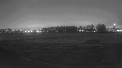


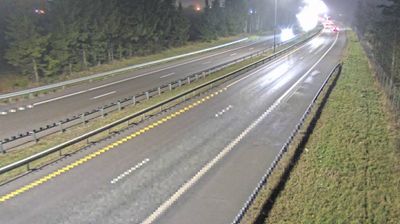
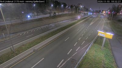


Kjeller has served as an aviation centre in Akershus since the early 20th century. Set on the low, cultivated Romerike plain northeast of Oslo, it lies near the Nitelva, which joins the Glomma at nearby Lillestrøm. Kjeller Airport opened in 1912 as a military airfield and established aviation as a lasting part of the district’s identity. The area later became an important Norwegian research environment, with the Norwegian Defence Research Establishment and the Institute for Energy Technology based here. Kjeller is closely connected to urban Lillestrøm and the wider Oslo region rather than standing apart as an old town. Move on to other webcams in Akershus to compare the Romerike plain and settings around Kjeller.
2 webcams
The terrain of Akershus ranges from cultivated lowlands beside the Oslofjord in the west to forested hills and river valleys in the east and north, giving the county both coastal and inland character. Encircling much of Oslo, it links the capital with farmland, woodland and growing towns. The Glomma, Norway’s longest river, runs along parts of Akershus’s eastern side. At Eidsvoll, the Norwegian Constitution was adopted in 1814, a defining moment in the country’s modern history. Explore nearby webcam locations that provide complementary perspectives on Akershus.
53 webcams
Norway has served as a seafaring link between the North Atlantic and northern Europe since the Viking Age. Its long coastline is cut by fjords, while the Lofoten archipelago rises sharply from the Norwegian Sea and the mountains of Jotunheimen include Galdhøpiggen, Norway’s highest peak. Bergen’s Bryggen, the former Hanseatic wharf, recalls centuries of maritime trade. Farther north, Sámi culture remains an essential part of the country’s identity. Explore nearby webcam locations that provide complementary perspectives on Norway’s coast, fjords and mountain regions.
1.5K webcams