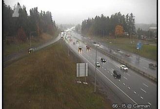
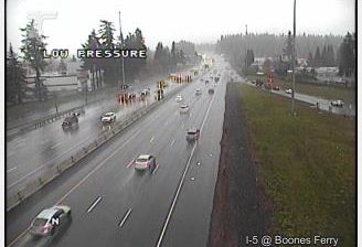
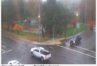
 Durham: Washington County - Upper Boones Ferry Rd at Carman Dr
Durham lies along the Tualatin River, a low, settled floodplain within the Portland metropolitan area, framed by mature trees and residential streets. This small Washington County city sits between the larger suburban centres of Tigard and Tualatin, where Upper Boones Ferry Road is a principal north–south local route. The Tualatin flows east to join the Willamette River, tying Durham to the wider Willamette Valley watershed. The road name preserves a link to Boone's Ferry, a Willamette River crossing established in 1847 by Alphonso Boone, grandson of Daniel Boone. Durham's character is defined by arterial roads, neighbourhoods and river-edge lowlands rather than a downtown skyline.
Generated by AI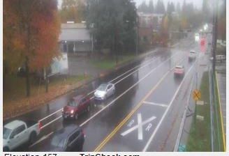



Durham sits on the rolling Piedmont in North Carolina, United States, where the Eno River passes through the city’s northern reaches. Once a major tobacco-manufacturing center, it has repurposed part of that industrial legacy at the American Tobacco Campus, built around renovated former factory buildings near downtown. Duke University gives Durham a prominent academic identity, and its neo-Gothic Duke Chapel is a defining campus landmark. As one of the three principal cities of the Research Triangle, alongside Raleigh and Chapel Hill, Durham also has a strong technology and research presence. The Durham Bulls play minor-league baseball at Durham Bulls Athletic Park. Browse nearby webcams to see how Durham connects with the wider Triangle region.
5 webcams
Among the regions of the United States, North Carolina stands out for its sweep from the Blue Ridge Mountains across the Piedmont to the Atlantic’s barrier islands. The coordinates lie in the central Piedmont, where rolling, wooded terrain and growing communities link the mountain country with the coastal plain. To the west, the Blue Ridge Parkway follows the Appalachian highlands; eastward, the Outer Banks form a long sandy edge facing the Atlantic. North Carolina holds an enduring place in aviation history: the Wright brothers made the first successful powered flight near Kitty Hawk in 1903. Barbecue traditions and university towns add further character to this state of distinct regions. Discover North Carolina in its wider Southeastern setting by browsing webcams in nearby areas.
58 webcams
The Atlantic, Pacific and Gulf coasts define much of the United States — their ports, fisheries and trade routes have long tied the country’s economy to the wider world. Between them, the Rocky Mountains, Great Plains and Mississippi River basin form sharply different regions, from high western ranges to broad agricultural heartlands. Cities carry much of the national story: New York’s Statue of Liberty, a gift from France dedicated in 1886, remains an enduring symbol, while Washington, DC concentrates major federal institutions. Indigenous nations have shaped these lands for millennia, and their living cultures remain essential to the country’s identity. Find related webcams in the surrounding areas to build a fuller picture of the United States.
32K webcams