 Bloemendaal: Beach / Sand dunes at Bloemendaal aan Zee - Noordzee
The landscape around Bloemendaal aan Zee is a low, sandy North Sea coast shaped by dunes, which has shaped both the built environment and local life. This seaside quarter of Bloemendaal lies between the open beach and the Kennemerland dune belt. Broad sands and low, vegetated dunes form part of a coastline continually influenced by wind, tides and carefully managed access. Behind the shore, dune habitats lead toward Zuid-Kennemerland National Park, a protected area of dunes, woodland and wet hollows. Rather than a conventional town centre, the area is organised around beach entrances, cycle routes and hospitality pavilions; beachgoing is central to its leisure culture. Haarlem lies inland, while the North Sea defines North Holland’s western edge.
Generated by AI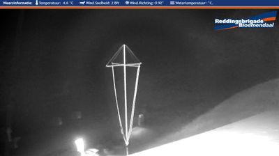


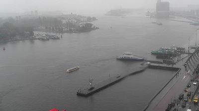
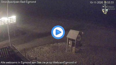

Bloemendaal lies along North Holland’s North Sea dune belt, where wooded slopes and sandy ridges rise between Haarlem and the coast. The village borders Nationaal Park Zuid-Kennemerland, whose dunes, woodland and wet hollows preserve a changing coastal environment rather than a formal seaside promenade. Bloemendaal municipality also extends to Bloemendaal aan Zee, linking the inland settlement to the beach. In the surrounding dunes, Openluchttheater Caprera stages open-air theatre, concerts and other performances, adding a cultural stop to walks and cycle rides. View additional webcams nearby to better understand how Bloemendaal relates to the Kennemerland dunes and North Sea coast.
2 webcams
North Holland balances windswept North Sea dunes with carefully managed polder land, reflecting its position between the coast and the IJsselmeer. The province includes Alkmaar, long associated with its traditional cheese market on Waagplein, and extends across landscapes reclaimed from the former Zuiderzee. Canals, dikes and pumping systems are central to daily life here, making settlement and farming possible on land shaped by water management. Broad beaches and protected dunes line the western shore, while inland towns combine old harbours, brick streets and productive farmland. Amsterdam, the provincial capital, contains the UNESCO-listed seventeenth-century canal ring. Find related webcams around North Holland to build a fuller picture of this Dutch coastal province.
25 webcams
Among the countries of northwestern Europe, the Netherlands stands out for its carefully managed lowlands in the Rhine–Meuse–Scheldt delta. Much of the country lies low in relation to the sea, and dikes, dunes, pumps and polders are integral to its everyday geography. The North Sea coast ranges from broad beaches to the Wadden Sea, a tidal area shared with Germany and Denmark. Amsterdam’s 17th-century canal ring recalls an era when Dutch trade connected the republic with ports around the world. Beyond the capital, bicycles, dairy farming, bulb fields and compact historic cities give the country a distinct rhythm. Rotterdam’s port and the Delta Works show how maritime commerce and water engineering remain central. View additional webcams nearby to better understand how the Rhine–Meuse–Scheldt delta relates to its North Sea surroundings.
124 webcams