 Burnaby: Academic Quadrangle
Simon Fraser University’s Academic Quadrangle occupies a mountaintop site on Burnaby Mountain in British Columbia. It is the formal heart of SFU’s Burnaby campus, a major public university named for the explorer Simon Fraser and opened in 1965. Architect Arthur Erickson, working with Geoffrey Massey, shaped the original campus around broad concrete terraces, long horizontal buildings and reflecting pools; the quadrangle remains a clear expression of that modernist plan. Burnaby Mountain rises above Burrard Inlet at the eastern edge of Metro Vancouver, placing the campus between a forested ridge and the dense urban region below. The restrained geometry of the Academic Quadrangle gives the university a civic scale rarely found on a hillside campus.
Generated by AI
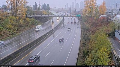
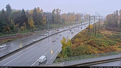


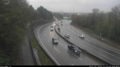
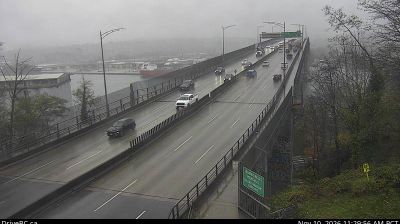
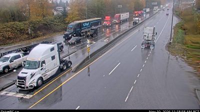
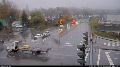

Burnaby combines busy urban centres with extensive green space in a way that reflects its position within Metro Vancouver. Burnaby Mountain rises above Burrard Inlet on the city’s northern side, while Deer Lake Park provides a quieter setting near the municipal core. Simon Fraser University, founded in 1965, crowns Burnaby Mountain and gives the city an important academic presence; its campus is closely associated with architect Arthur Erickson. Metropolis at Metrotown is among Canada’s largest shopping complexes, underscoring Burnaby’s role as a major urban centre beyond neighbouring Vancouver. Browse further webcams around Metro Vancouver to trace how this part of British Columbia links with the wider region.
7 webcams
British Columbia has served as Canada’s Pacific frontier since joining Confederation in 1871. This vast western province extends from the Pacific coast across the Coast Mountains and interior plateaus to the Canadian Rockies; these coordinates lie in its sparsely settled northern interior. The Fraser, British Columbia’s longest river, drains a large part of the province before reaching the Strait of Georgia. First Nations have shaped these lands for millennia, and their living cultures remain integral to communities throughout the province. Victoria, on Vancouver Island, is the provincial capital, while Vancouver is its largest city and a major Pacific port. Forestry, mining, fisheries and outdoor travel all reflect a terrain where waterways and mountain corridors matter. View additional webcams nearby to better understand how British Columbia’s northern interior relates to its Pacific coast and mountain ranges.
1.2K webcams
Canada has served as a frontier between French and British colonial powers since the 17th century. The world’s second-largest country extends from Atlantic shores to the Pacific and Arctic coasts, with the Canadian Shield, the Rocky Mountains, the Great Lakes and the St. Lawrence River shaping its vast geography. First Nations, Inuit and Métis peoples are central to Canada’s identity, while Ottawa’s Parliament Hill represents its federal political life. French remains the official language of Quebec, adding a distinct dimension to the country’s public culture. See how Canada connects across North America by browsing webcams in neighbouring regions.
3.5K webcams