 Saint-Jean-en-Royans: Combe Laval
Combe Laval occupies a vast limestone cirque in the western Vercors Massif, above Saint-Jean-en-Royans in France’s Drôme department. Forested slopes give way to long pale cliffs and ravines, revealing how erosion has cut into the Vercors plateau. The Route de Combe Laval, a cliff-hugging road completed in 1897, was built to bring timber down from the plateau and remains one of the region’s notable engineering works. Within the Vercors Regional Natural Park, the cirque marks the transition from the lower Royans country to higher plateaux of beech and fir woodland and pasture. The road reaches the Col de la Machine, a pass on the plateau above.
Generated by AI



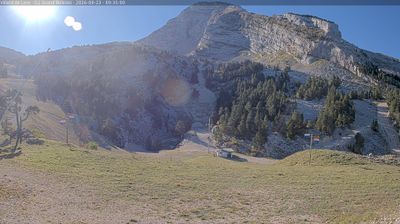
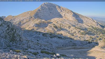
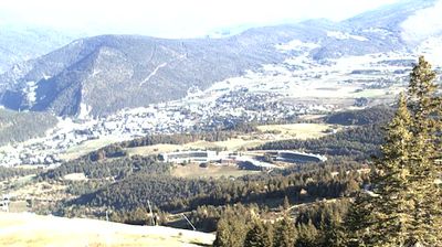
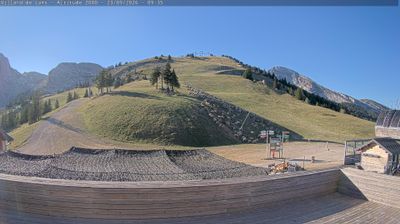
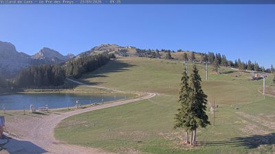


Saint-Jean-en-Royans sits at the foot of the Vercors Massif in France’s Auvergne-Rhône-Alpes region, where limestone uplands rise above the lower country of Royans. The town lies on the western side of the Vercors Regional Natural Park, a transition zone between the Drôme plain and high plateaux cut by deep gorges. Nearby Combe Laval is a vast limestone cirque, traversed by a cliff-hugging road built in the late 19th century for forestry access. The Bourne valley and its gorges lead farther into the massif, while Saint-Jean remains a local centre for the surrounding Royans communities. Browse other webcams across the Vercors and Drôme to place this setting in a wider geographic context.
3 webcams
Auvergne-Rhône-Alpes is widely known in France for the French Alps, the major mountain chain along its eastern edge. This vast administrative region also extends west across the Massif Central and follows the Rhône valley, bringing together volcanic uplands, river corridors and major cities. Lyon, the regional capital, stands between the Rhône and Saône, and its historic centre is inscribed on UNESCO’s World Heritage List. Near these coordinates, northern Ardèche lies close to the wooded hills of the Pilat area, where the Rhône corridor forms a transition between upland country and valley settlements. Alpine cheeses and Rhône valley wines reflect the region’s varied terrain. Browse additional webcams from the surrounding area to extend your view of Auvergne-Rhône-Alpes.
602 webcams
The Atlantic and Mediterranean coastlines, together with the Alps, Pyrenees and broad river basins, define much of France — they support maritime trade, farming, wine regions and travel throughout the year. The Seine runs through Paris, where the Eiffel Tower and the Louvre are among Europe’s most recognised landmarks. The Loire Valley is known for Renaissance châteaux, while Mont-Saint-Michel rises from a tidal bay in Normandy. Regional food traditions are equally distinctive, from Breton seafood to Provençal cooking, with bread, cheese and wine central to everyday life. France’s global cultural influence is evident in its language, literature, fashion and cinema. View additional webcams nearby to better understand how France’s coasts, plains and mountain borders relate to their surroundings.
1.9K webcams