 Dundee: ORE18 at Fulquartz Landing
The landscape around Dundee is rolling farmland and vine-covered hills, which has shaped both the built environment and local life. The town stands in Oregon’s Willamette Valley, a broad basin framed by the Coast Range to the west and the Cascade Range farther east. The Dundee Hills rise beside the community, where vineyards have made Pinot noir the area’s defining agricultural product. Dundee is closely associated with Oregon’s modern wine industry and is surrounded by tasting rooms, wineries and working fields rather than dense urban development. Oregon Route 18 follows the valley corridor near town, carrying traffic between the Portland metropolitan area, the wine country and routes toward the Pacific coast. The Willamette River flows north of Dundee, reinforcing the valley’s long connection to fertile farmland.
Generated by AI

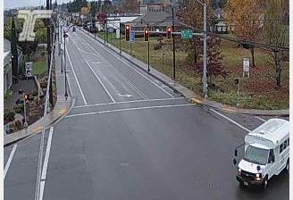
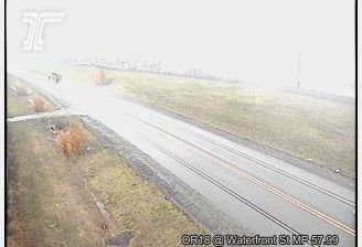
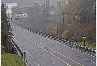


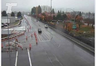
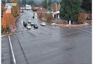
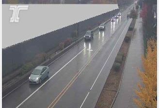

Built around a late-19th-century rail stop, Dundee grew into a small Willamette Valley city beneath the Chehalem Mountains. The Willamette River runs nearby, while the rolling Dundee Hills form a band of vineyard country south of the river. Pinot noir is central to local identity, expressed through working vineyards, tasting rooms and seasonal food-and-wine events rather than a single urban landmark. The Dundee Hills American Viticultural Area, established in 2005, formally recognizes this winegrowing district. Browse other webcams across Oregon’s Willamette Valley to place Dundee in a wider geographic context.
4 webcams
The Cascade Range and high desert define much of Oregon, shaping a state where forestry, farming, hydropower and outdoor recreation are central to regional life. The Columbia River forms much of its northern border, while the Willamette Valley supports fertile farmland between the Cascades and the Coast Range. Oregon’s Pacific shore is marked by long beaches, headlands and working coastal towns, and Crater Lake preserves the deep caldera of Mount Mazama in the south. Oregon City is associated with the historic end of the Oregon Trail, a reminder of the migration that transformed the nineteenth-century American West. See how Oregon connects with the wider Pacific Northwest by browsing webcams nearby.
890 webcams
The Atlantic, Pacific and Gulf coasts define much of the United States — their ports, fisheries and trade routes have long tied the country’s economy to the wider world. Between them, the Rocky Mountains, Great Plains and Mississippi River basin form sharply different regions, from high western ranges to broad agricultural heartlands. Cities carry much of the national story: New York’s Statue of Liberty, a gift from France dedicated in 1886, remains an enduring symbol, while Washington, DC concentrates major federal institutions. Indigenous nations have shaped these lands for millennia, and their living cultures remain essential to the country’s identity. Find related webcams in the surrounding areas to build a fuller picture of the United States.
32K webcams