 Kimunyu: Ol Donyo Sabuk
Kimunyu lies in the Athi River basin, where cultivated smallholdings and scattered settlement extend across Kiambu County’s gently rolling land toward Ol Donyo Sabuk. The isolated mountain, also known as Kilimambogo, rises to 2,145 metres and forms the centrepiece of Ol Donyo Sabuk National Park, east of Thika. Its forested slopes stand apart from the surrounding agricultural plains and support wildlife including buffalo, baboons and a variety of birds. At the summit is the grave of Lord William Northrop Macmillan, a British colonial settler whose former estate became part of the national park. The mountain is widely known locally as Kilimambogo as well as by its Maa name, Ol Donyo Sabuk.
Generated by AI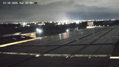
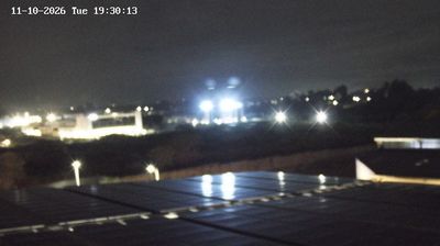
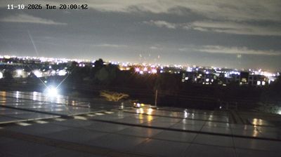
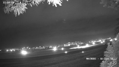

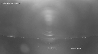
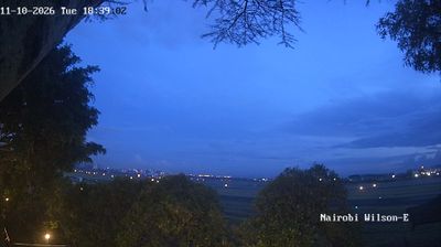


Few communities in Kiambu County have a history as closely tied to the county’s agricultural economy as Kimunyu. Located on the cultivated central Kenyan uplands north of Nairobi, it forms part of a region where smallholdings, coffee and tea have long influenced local livelihoods. Kiambu is also within the wider Kikuyu heartland, whose language, food traditions and farming culture remain central to everyday life. Explore nearby locations that provide complementary perspectives on Kiambu County and Kenya’s central highlands.
1 webcam
Kiambu combines cool, productive highlands with Nairobi’s rapidly urbanising fringe in a way that reflects its position within central Kenya’s upland belt. Tea and coffee cultivation remain central to the county’s identity, alongside small farms supplying the capital with fresh produce. The Chania River flows through the county toward Thika, helping shape the cultivated terrain, while Chania Falls near Thika is a recognised local landmark. Kiambu town serves as the county headquarters, and Thika adds an important industrial and commercial dimension. Roads, markets and farmland underline the close ties between rural livelihoods and metropolitan Nairobi. Browse additional webcams from the surrounding area to extend your view of Kiambu County.
6 webcams
The Great Rift Valley and the Indian Ocean coastline define much of Kenya — their contrasts support farming, fishing, trade and tourism. Nairobi is a major commercial centre in East Africa and home to Nairobi National Park, where wildlife moves close to the city. Maasai Mara National Reserve is known for the annual migration of wildebeest and zebra from Tanzania’s Serengeti. Near the equator rises Mount Kenya, the country’s highest mountain; its protected area is a UNESCO World Heritage site. Swahili culture is especially evident on the coast, including in Lamu Old Town, a UNESCO-listed settlement shaped by centuries of Indian Ocean trade. Find related webcams in the surrounding area to build a fuller picture of Kenya.
68 webcams