 District of Trenčín: Brezina: Trenčín Airport
Trenčín Airport sits in the Váh valley in western Slovakia, where the broad Považie plain meets the foothills of the Považský Inovec mountains. Its open airfield grounds, hangars and paved operating areas form part of the aviation landscape outside Trenčín. Aeroklub Trenčín is based here, linking the site with recreational flying and local aviation activity. The airport is also associated with Pohoda, one of Slovakia’s best-known music festivals, which has been held on its grounds since 2004. Together, the airfield and the surrounding low hills give this part of the Trenčín region a notably open, spacious character.
Generated by AI


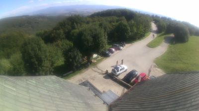




Tucked along the Váh River in western Slovakia, the District of Trenčín is a place whose character is shaped by the steep castle rock above its historic town. Trenčín Castle crowns this outcrop, forming the focal point of a settlement that developed on an important route through the Váh valley. Beneath it, Mierové námestie is lined with historic town houses, while the old town retains a compact urban fabric. On the rock is the Laugaricio inscription, a Latin text recording a Roman victory in AD 179 and among Slovakia’s most significant surviving traces of the Roman world. Beyond the centre, the district extends into the valley and adjoining hills of the Trenčín region. Explore nearby webcam locations that provide complementary perspectives on the Váh valley and Trenčín region.
2 webcams
Shaped by the Váh river corridor and routes through north-western Slovakia, the Region of Trenčín developed into an administrative region of broad valleys, wooded uplands and historic towns. Trenčín, its regional centre, is dominated by Trenčín Castle above the river; the rock below preserves a Latin inscription from the Roman era. The White Carpathians form part of the western borderland, while the Strážov Mountains and Považský Inovec give the interior a more rugged profile. Spa traditions, folk culture and the Váh’s settlement corridor remain central to the region’s identity. See how the Region of Trenčín fits within north-western Slovakia by browsing webcams nearby.
18 webcams
Slovakia is best known internationally for the High Tatras, whose granite summits form the country’s most celebrated mountain landscape. Gerlachovský štít, at 2,655 metres, is the highest peak in Slovakia and in the Carpathians. The Danube runs past Bratislava, where Bratislava Castle stands on a hill above the river, linking the capital to Central Europe’s major waterway. Beyond the cities, forests, karst terrain and small historic towns define much of the country. Slovakia’s long folk tradition is also represented by the fujara, a large shepherd’s flute recognised by UNESCO. Browse additional webcams from the surrounding area to extend your view of the High Tatras and the Danube region.
281 webcams