 Lake Country: Highway 97 in - by Wood Lake, looking south
Tucked along Duck Lake in the Okanagan Valley, Lake Country is a place whose character is shaped by water, dry slopes and orchard land. The district lies north of Kelowna between Okanagan Lake and smaller valley lakes, including Wood Lake and Kalamalka Lake. Highway 97 is a defining corridor here, following the valley through communities such as Winfield and Oyama and linking the Central Okanagan with Vernon. Lake Country was incorporated as a district municipality in 1995, bringing together several established lakeside communities. Vineyards, fruit growing and lakeside recreation remain central to its identity, while residential areas extend across the valley benches above the shore.
Generated by AI
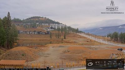
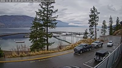
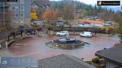
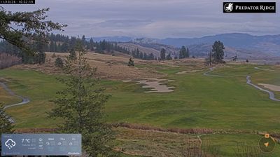

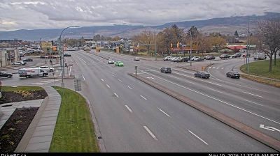
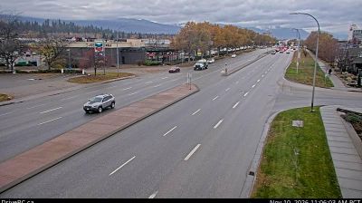


Lake Country is best known in British Columbia for its vineyards and orchards, set between Okanagan Lake, Wood Lake and Kalamalka Lake in the Okanagan Valley. The municipality brings together the communities of Winfield, Oyama, Okanagan Centre and Carr’s Landing, where farms, wineries and residential neighbourhoods occupy terraces above the water. Okanagan Lake shapes the western edge, while Wood Lake provides a smaller shoreline to the east. This is Syilx Okanagan territory, and fruit growing remains central to the area’s identity alongside its wine industry. Discover other points of interest through webcams located across Lake Country and the Okanagan Valley.
2 webcams
British Columbia has served as Canada’s Pacific frontier since joining Confederation in 1871. This vast western province extends from the Pacific coast across the Coast Mountains and interior plateaus to the Canadian Rockies; these coordinates lie in its sparsely settled northern interior. The Fraser, British Columbia’s longest river, drains a large part of the province before reaching the Strait of Georgia. First Nations have shaped these lands for millennia, and their living cultures remain integral to communities throughout the province. Victoria, on Vancouver Island, is the provincial capital, while Vancouver is its largest city and a major Pacific port. Forestry, mining, fisheries and outdoor travel all reflect a terrain where waterways and mountain corridors matter. View additional webcams nearby to better understand how British Columbia’s northern interior relates to its Pacific coast and mountain ranges.
1.2K webcams
Canada has served as a frontier between French and British colonial powers since the 17th century. The world’s second-largest country extends from Atlantic shores to the Pacific and Arctic coasts, with the Canadian Shield, the Rocky Mountains, the Great Lakes and the St. Lawrence River shaping its vast geography. First Nations, Inuit and Métis peoples are central to Canada’s identity, while Ottawa’s Parliament Hill represents its federal political life. French remains the official language of Quebec, adding a distinct dimension to the country’s public culture. See how Canada connects across North America by browsing webcams in neighbouring regions.
3.5K webcams