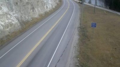
Regional District of Fraser-Fort George: Highway 16 at Dunster Station Road, about 30 km east of McBride, looking east
British Columbia has served as Canada’s Pacific frontier since joining Confederation in 1871. This vast western province extends from the Pacific coast across the Coast Mountains and interior plateaus to the Canadian Rockies; these coordinates lie in its sparsely settled northern interior. The Fraser, British Columbia’s longest river, drains a large part of the province before reaching the Strait of Georgia. First Nations have shaped these lands for millennia, and their living cultures remain integral to communities throughout the province. Victoria, on Vancouver Island, is the provincial capital, while Vancouver is its largest city and a major Pacific port. Forestry, mining, fisheries and outdoor travel all reflect a terrain where waterways and mountain corridors matter. View additional webcams nearby to better understand how British Columbia’s northern interior relates to its Pacific coast and mountain ranges.
Generated by AI