 Delta: Highway 13 Aldergrove border crossing at Highway 13 and 0 Avenue, looking south
Tsawwassen combines suburban convenience with a coastal setting in a way that reflects its position on the Fraser River delta. This community in the City of Delta lies between Boundary Bay and the Strait of Georgia, close to the Canada–United States border. Broad, level streets and low-rise shopping areas form part of Metro Vancouver’s southern edge, while agricultural land and tidal shorelines remain nearby. The BC Ferries terminal at Tsawwassen is a principal maritime link to Vancouver Island and the Southern Gulf Islands. The community’s name is associated with the Tsawwassen First Nation, whose traditional territory includes this part of the delta. Its road network serves local neighbourhoods as well as ferry-bound traffic.
Generated by AI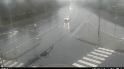




Among Colorado’s cities, Delta stands out for its position at the confluence of the Gunnison and Uncompahgre rivers, where irrigated farmland meets the drier country of the Western Slope. As the seat of Delta County, it serves an agricultural district known for orchards, vineyards and farms sustained by water from the regional river system. The town lies south of Grand Mesa, the immense flat-topped landform that shapes the surrounding horizon and rises into cooler forest country. Downtown’s Egyptian Theatre, opened in 1928, preserves a distinctive example of early cinema architecture. View additional webcams nearby to better understand how Delta’s river valley relates to the wider Western Slope.
4 webcams
Among the states of the United States, Colorado stands out for the high Rocky Mountain country running through its centre. Around this part of the state, forested slopes, open basins and granite outcrops form the interior landscape of the Rockies, where conditions can change rapidly with the season. The Continental Divide crosses Colorado, separating waters that flow toward the Pacific from those bound for the Atlantic and Gulf coasts. The Arkansas River rises in the central Rockies and is one of the state’s major waterways. Admitted to the Union in 1876, Colorado is still known as the Centennial State. See how central Colorado connects with the wider Rocky Mountain region by browsing webcams nearby.
214 webcams
The Atlantic, Pacific and Gulf coasts define much of the United States — their ports, fisheries and trade routes have long tied the country’s economy to the wider world. Between them, the Rocky Mountains, Great Plains and Mississippi River basin form sharply different regions, from high western ranges to broad agricultural heartlands. Cities carry much of the national story: New York’s Statue of Liberty, a gift from France dedicated in 1886, remains an enduring symbol, while Washington, DC concentrates major federal institutions. Indigenous nations have shaped these lands for millennia, and their living cultures remain essential to the country’s identity. Find related webcams in the surrounding areas to build a fuller picture of the United States.
32K webcams