 Egmond aan Zee: Restaurant Van Speijk - Lido Zeezicht Apartment - Restaurant Westenwind - Restaurant "Bad Egmond" Strandpaviljoen - Ice cream Miramare B.V. - webcam Egmond - KNRM station Egmond aan Zee - Strandpaviljoen the Shell - Uitkijk
Egmond aan Zee has served as a fishing village on the North Holland coast since the Middle Ages. Set behind broad North Sea beaches, it is part of the historic Egmond area, whose former abbey at nearby Egmond-Binnen played an important role in the medieval County of Holland. The village centre runs directly into a seafront strip of cafés, apartments and beach pavilions, while the J.C.J. van Speijk Lighthouse, built in 1834, remains a defining landmark. Named for the Dutch naval officer Jan van Speijk, it reflects the close bond between this shore, navigation and the sea. Egmond aan Zee combines an active beachfront with a compact, lived-in town centre.
Generated by AI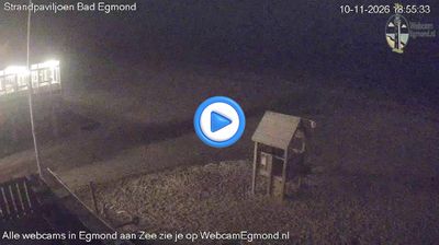
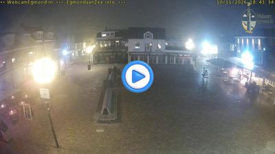
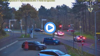

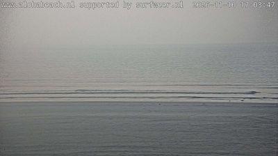

Egmond aan Zee combines the openness of a broad North Sea beach with the shelter of coastal dunes in a way that reflects its position on North Holland’s western shore. The white J.C.J. van Speijk Lighthouse, built in 1833 and named for Dutch naval officer Jan van Speijk, is the village’s defining landmark. Once a fishing settlement, Egmond aan Zee now has a distinctly seaside rhythm, with the long sandy coast and nearby Noordhollands Duinreservaat shaping walks, cycling routes and seasonal life. Discover other points of interest through webcams located across North Holland.
3 webcams
North Holland balances windswept North Sea dunes with carefully managed polder land, reflecting its position between the coast and the IJsselmeer. The province includes Alkmaar, long associated with its traditional cheese market on Waagplein, and extends across landscapes reclaimed from the former Zuiderzee. Canals, dikes and pumping systems are central to daily life here, making settlement and farming possible on land shaped by water management. Broad beaches and protected dunes line the western shore, while inland towns combine old harbours, brick streets and productive farmland. Amsterdam, the provincial capital, contains the UNESCO-listed seventeenth-century canal ring. Find related webcams around North Holland to build a fuller picture of this Dutch coastal province.
27 webcams
Among the countries of northwestern Europe, the Netherlands stands out for its carefully managed lowlands in the Rhine–Meuse–Scheldt delta. Much of the country lies low in relation to the sea, and dikes, dunes, pumps and polders are integral to its everyday geography. The North Sea coast ranges from broad beaches to the Wadden Sea, a tidal area shared with Germany and Denmark. Amsterdam’s 17th-century canal ring recalls an era when Dutch trade connected the republic with ports around the world. Beyond the capital, bicycles, dairy farming, bulb fields and compact historic cities give the country a distinct rhythm. Rotterdam’s port and the Delta Works show how maritime commerce and water engineering remain central. View additional webcams nearby to better understand how the Rhine–Meuse–Scheldt delta relates to its North Sea surroundings.
126 webcams