 Mont-Tremblant: Québec, Canada
The landscape around Mont-Tremblant is formed by wooded Laurentian hills, which have shaped both the built environment and local life. The municipality lies on the Rivière du Diable, in a region of forests, lakes and low mountains northwest of Montréal. Mont Tremblant is one of Quebec’s best-known ski centres, with lift infrastructure and a pedestrian resort village arranged on its slopes. Beyond the resort, Parc national du Mont-Tremblant extends the Laurentian setting into a large protected area; established in 1895, it was Quebec’s first provincial park. The town’s character combines an active mountain resort with the wider outdoor culture of the Laurentians, where paddling, hiking and cycling share the landscape with winter sports.
Generated by AI
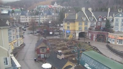
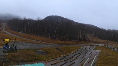
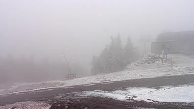
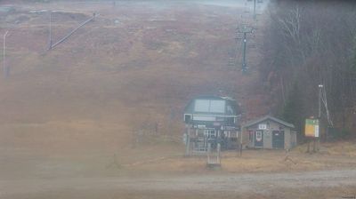
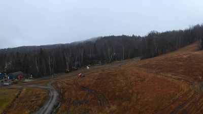
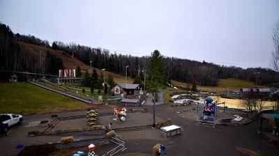
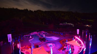

Mont-Tremblant lies along the Rivière du Diable in Quebec’s Laurentian Mountains, where the forested slopes of Mont Tremblant rise above a four-season resort town. The mountain reaches 875 metres and anchors one of eastern Canada’s best-known ski areas, whose first lifts opened in 1939. A pedestrian resort village gathers lodging, restaurants and shops at the base, while the older town centre retains a more local character. Nearby Parc national du Mont-Tremblant, created in 1895, protects a broad expanse of lakes and woodland. Browse additional webcams from the surrounding area to extend your view of Mont-Tremblant and the Laurentians.
7 webcams
Quebec has served as a French-speaking heartland within Canada since the 17th century. This vast province stretches from the St. Lawrence River valley to the subarctic north, and the coordinates here lie in its extensive Canadian Shield interior. Boreal forest, lakes, wetlands and rock outcrops shape this sparsely settled part of northern Quebec, where waterways are central to travel and seasonal life. French is Quebec’s official language, while Indigenous nations maintain enduring ties to territories across the province. Quebec City’s historic centre, founded in the early French colonial era, is a UNESCO World Heritage site. Browse additional webcams from the surrounding area to extend your view of northern Quebec.
59 webcams
Canada has served as a frontier between French and British colonial powers since the 17th century. The world’s second-largest country extends from Atlantic shores to the Pacific and Arctic coasts, with the Canadian Shield, the Rocky Mountains, the Great Lakes and the St. Lawrence River shaping its vast geography. First Nations, Inuit and Métis peoples are central to Canada’s identity, while Ottawa’s Parliament Hill represents its federal political life. French remains the official language of Quebec, adding a distinct dimension to the country’s public culture. See how Canada connects across North America by browsing webcams in neighbouring regions.
3.5K webcams