 Pendleton: I-84 at
Among the places of eastern Oregon, Pendleton stands out for its long-running Round-Up and its setting beside the Umatilla River. The city lies where the Columbia Plateau’s open, rolling country meets the foothills of the Blue Mountains, a landscape shaped by wheat farming, ranching and major transport routes. Pendleton grew as a trading centre for surrounding agricultural communities and remains the seat of Umatilla County. Its cultural identity is closely tied to the Pendleton Round-Up, held annually since 1910, and to Pendleton Woolen Mills, founded here in 1909. Interstate 84 follows the wider regional corridor, connecting the city with Columbia River communities to the northwest and Boise, Idaho, to the southeast. Downtown combines commercial blocks with buildings from its late-19th- and early-20th-century development.
Generated by AI

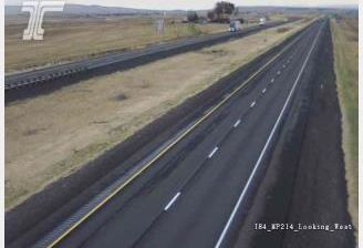
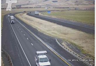
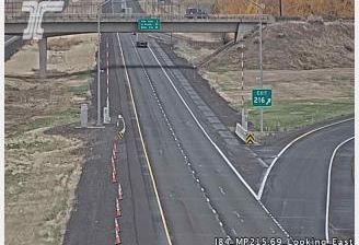
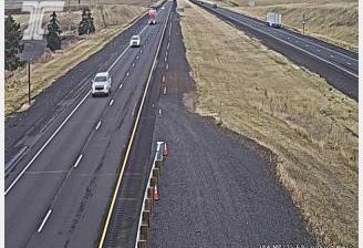
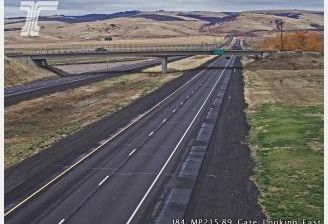

Pendleton occupies the Umatilla River valley in northeastern Oregon. Set between the Columbia Plateau and the foothills of the Blue Mountains, it has long been a regional centre for ranching, agriculture and trade. The city is best known for the Pendleton Round-Up, an annual rodeo held since 1910 that brings Western riding, tribal events and a major parade into downtown. Pendleton Woolen Mills, founded here in 1909, remains closely associated with the city and its distinctive blankets. Downtown retains the scale of an early-20th-century commercial centre, while the river corridor and nearby uplands place the town firmly in Oregon’s dry interior. Discover other points of interest through webcams located across northeastern Oregon.
9 webcams
The Cascade Range and high desert define much of Oregon, shaping a state where forestry, farming, hydropower and outdoor recreation are central to regional life. The Columbia River forms much of its northern border, while the Willamette Valley supports fertile farmland between the Cascades and the Coast Range. Oregon’s Pacific shore is marked by long beaches, headlands and working coastal towns, and Crater Lake preserves the deep caldera of Mount Mazama in the south. Oregon City is associated with the historic end of the Oregon Trail, a reminder of the migration that transformed the nineteenth-century American West. See how Oregon connects with the wider Pacific Northwest by browsing webcams nearby.
891 webcams
The Atlantic, Pacific and Gulf coasts define much of the United States — their ports, fisheries and trade routes have long tied the country’s economy to the wider world. Between them, the Rocky Mountains, Great Plains and Mississippi River basin form sharply different regions, from high western ranges to broad agricultural heartlands. Cities carry much of the national story: New York’s Statue of Liberty, a gift from France dedicated in 1886, remains an enduring symbol, while Washington, DC concentrates major federal institutions. Indigenous nations have shaped these lands for millennia, and their living cultures remain essential to the country’s identity. Find related webcams in the surrounding areas to build a fuller picture of the United States.
32K webcams