 London Borough of Bexley: A2 Arbuthnot Lane
London Borough of Bexley combines residential districts with major transport corridors in a way that reflects its position on London’s south-eastern edge. Near Arbuthnot Lane, the A2 runs through a tree-lined suburban corridor; this principal road links London with Kent and continues towards Dover. The borough reaches the River Thames in the north, while the River Cray runs through its eastern side before joining the Darent. Created in 1965 during the reorganisation of Greater London, Bexley includes Erith, Welling, Sidcup and Bexleyheath. Danson House, an 18th-century Palladian villa in Bexleyheath, is a notable heritage site. Its character shifts between Thames-side employment areas, established suburbs and green corridors shaped by the Cray and other local waterways.
Generated by AI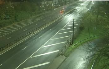
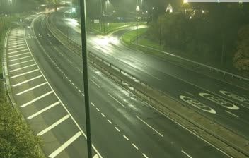
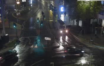
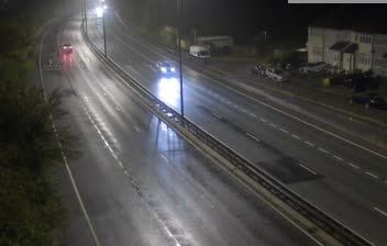
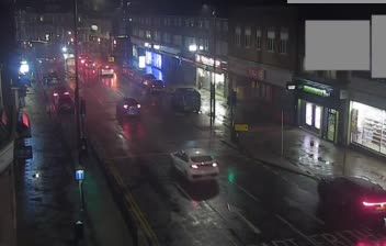
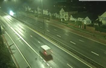
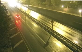
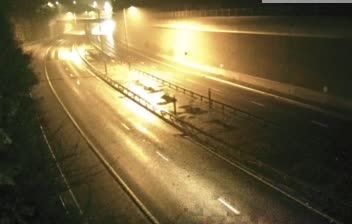
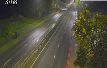
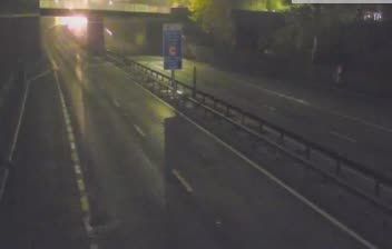

The River Thames defines the setting of the London Borough of Bexley — along its northern edge, the historic river town of Erith gives way southward to suburban districts, parks and the River Cray valley. The borough occupies London’s south-eastern fringe, where the capital meets Kent in both landscape and local identity. Bexleyheath is home to Red House, commissioned by William Morris and designed by architect Philip Webb in 1859; the Arts and Crafts landmark is managed by the National Trust. Nearby Danson Park centres on a large lake beside the 18th-century Danson House. Continue with other webcams around southeast London to see how this part of the capital links with the Thames corridor and Kent.
39 webcams
England’s lowland plains, upland ranges and extensive coastline define much of England - these contrasts have long shaped farming, maritime trade and the growth of its cities. The Midlands, where this location lies, sit at the country’s inland centre and were pivotal to Britain’s Industrial Revolution. The River Thames links London with the North Sea, while the Pennines form a major upland spine farther north. Roman roads, medieval cathedrals and industrial-era towns remain visible parts of the national fabric. Explore related webcams around England to build a fuller picture of this varied country.
1.2K webcams
The United Kingdom combines long-established institutions with sharply varied regional identities in a way that reflects its position within northwestern Europe. England, Scotland, Wales and Northern Ireland share a state while retaining distinct traditions, languages and landscapes. The River Thames runs through London, where the Palace of Westminster and the Tower of London mark centuries of national life; Edinburgh’s Old and New Towns are UNESCO-listed. The Highlands, Eryri’s mountains and Atlantic-facing coasts contrast with the densely settled southeast. Football, theatre, pub culture and music remain everyday threads in a country with global cultural influence. View additional webcams nearby to better understand how the United Kingdom relates to its Atlantic and European surroundings.
1.3K webcams