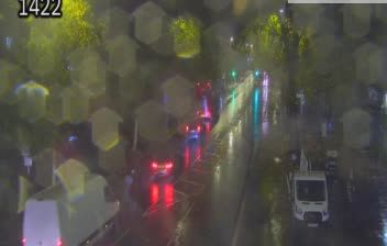
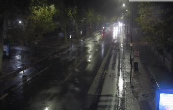
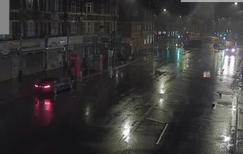
 London Borough of Haringey: Upper Clapton Rd/Rossington St
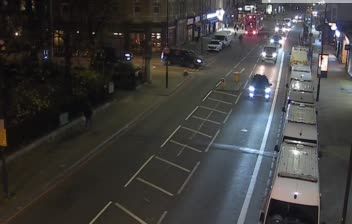
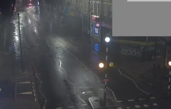
Among the urban districts of England, Upper Clapton Road in London stands out for its role as a busy north–south route between Clapton and Stamford Hill. The Rossington Street junction sits in Hackney, close to Clapton Common and within the dense, mixed-use fabric of north-east London. Shops, flats, pavements and frequent buses give this stretch the character of an everyday high street rather than a monumental centre. The River Lea and its reservoirs lie farther east, forming a broad waterside corridor through the Lea Valley. Nearby Stamford Hill is closely associated with one of Europe’s largest Hasidic Jewish communities, whose institutions and businesses are an important part of the area’s social landscape. Upper Clapton Road also leads south towards Hackney’s older residential streets and the wider East London network.
Generated by AI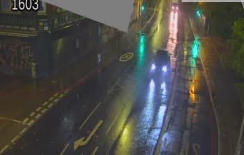
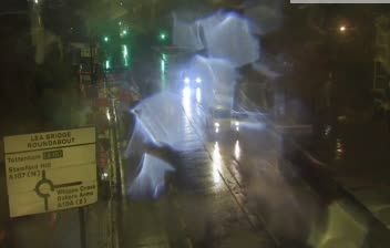
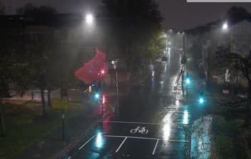
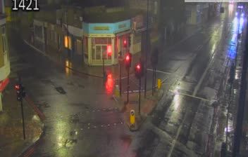

Built from the historic communities of Tottenham, Hornsey and Wood Green, the London Borough of Haringey developed into the varied north London borough of today. Its eastern edge follows the River Lea, while the 17th-century New River, created to supply London with water, crosses the borough. Alexandra Palace stands on high ground and is linked to the BBC’s first regular high-definition television broadcasts in 1936. Tottenham is home to Tottenham Hotspur, whose stadium makes match days a major part of local life. From Highgate’s slopes to the Lea Valley, Haringey combines established neighbourhoods, parks and busy high streets. View additional webcams nearby to better understand how Haringey relates to north London’s surroundings.
61 webcams
England’s lowland plains, upland ranges and extensive coastline define much of England - these contrasts have long shaped farming, maritime trade and the growth of its cities. The Midlands, where this location lies, sit at the country’s inland centre and were pivotal to Britain’s Industrial Revolution. The River Thames links London with the North Sea, while the Pennines form a major upland spine farther north. Roman roads, medieval cathedrals and industrial-era towns remain visible parts of the national fabric. Explore related webcams around England to build a fuller picture of this varied country.
1.2K webcams
The United Kingdom combines long-established institutions with sharply varied regional identities in a way that reflects its position within northwestern Europe. England, Scotland, Wales and Northern Ireland share a state while retaining distinct traditions, languages and landscapes. The River Thames runs through London, where the Palace of Westminster and the Tower of London mark centuries of national life; Edinburgh’s Old and New Towns are UNESCO-listed. The Highlands, Eryri’s mountains and Atlantic-facing coasts contrast with the densely settled southeast. Football, theatre, pub culture and music remain everyday threads in a country with global cultural influence. View additional webcams nearby to better understand how the United Kingdom relates to its Atlantic and European surroundings.
1.3K webcams