 Vantaa: Tie 3 - Klaukkalan liittymä
The landscape around Vantaa is low-lying and wooded, which has shaped both the built environment and local life. Part of the Helsinki metropolitan area, Vantaa extends from dense residential districts into fields, forests and wetlands along the Vantaa River. The river has long supported settlement and industry, while major roads and rail connections underline the city’s role in the daily movement of the capital region. Helsinki Airport is in Vantaa, making the city a principal arrival point for Finland. The medieval St. Lawrence Church in the historic parish of Helsinge preserves a link with the area’s rural past. Transport infrastructure and open land give Vantaa a distinct character beside central Helsinki.
Generated by AI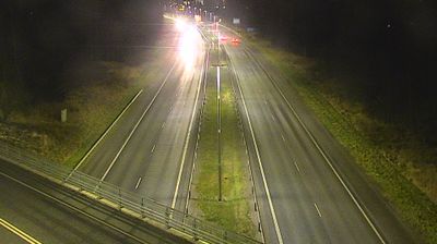
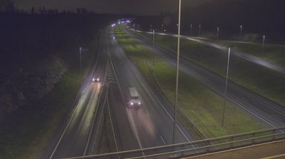

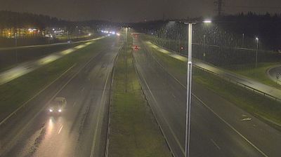
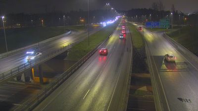


Vantaa lies along the Vantaa River, where wooded riverbanks and suburban neighbourhoods extend north of Helsinki. Finland’s main international airport, Helsinki Airport, is in the city, making Vantaa a key transport centre for the capital region. Tikkurila, the administrative and commercial heart of Vantaa, is home to the Heureka Finnish Science Centre. The medieval stone Church of St. Lawrence, near the airport, recalls the area’s much older rural parish roots. Discover other points of interest through webcams located across Vantaa and Mainland Finland.
19 webcams
The terrain of Uusimaa ranges from a low, island-dotted coast in the south to wooded uplands and lake country in the north, binding Finland’s capital region to the Gulf of Finland. Helsinki, the national capital, is its urban centre, while the coast extends through the municipalities of Espoo and Porvoo. Suomenlinna, the sea fortress off Helsinki and a UNESCO World Heritage Site, recalls Sweden’s 18th-century rule; the medieval Porvoo Cathedral and old town add another historic strand. Inland, Nuuksio National Park protects a mosaic of forest, lakes and rocky terrain close to the metropolitan area. Explore additional nearby webcams to see how Uusimaa connects with the Gulf of Finland and southern Finland.
203 webcams
The terrain of Finland ranges from low coastal plains along the Gulf of Bothnia to fells in Lapland, creating a country of forests, lakes and long northern distances. More than 180,000 lakes shape everyday life, while the Lakeland region is threaded with waterways and islands. Helsinki, on the Gulf of Finland, combines neoclassical landmarks around Senate Square with contemporary Finnish design. Farther north, the Sámi are Finland’s only recognised Indigenous people, and their culture remains closely connected to the Arctic region. In winter, snow and ice transform the north; in summer, long daylight extends outdoor life well into the evening. Continue through nearby webcams to explore different parts of Finland.
1.7K webcams