 Velika Gorica: Zagrebačka Ulica
The landscape around Velika Gorica is flat and built-up on the Turopolje plain south of the Sava River, which has shaped both the built environment and local life. Zagrebačka Ulica is a principal urban corridor, lined with low-rise homes, shops and cafés rather than monumental architecture. Velika Gorica is the main town of Turopolje, a historic lowland region closely associated with traditional wooden chapels and timber houses. Its close relationship with Zagreb gives the city a metropolitan rhythm, while the plain extends south towards the wooded slopes of Vukomeričke gorice. Franjo Tuđman Airport, Zagreb’s main airport, is also located in Velika Gorica.
Generated by AI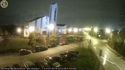





Among the cities of Zagreb County, Velika Gorica stands out for its place in Turopolje, the lowland region south of Zagreb. The city lies near the Sava River, whose broad floodplain has long shaped settlement and farming across this part of central Croatia. Velika Gorica is closely associated with Turopolje’s timber-building tradition: the wooden Chapel of St Barbara in nearby Velika Mlaka, built in 1642, is a noted example. The 18th-century Lukavec Castle south of the city recalls the local noble community that once administered Turopolje. Franjo Tuđman Airport also makes Velika Gorica an important transport point for the Zagreb area. Browse other webcams across Zagreb County to place this setting in a wider geographic context.
1 webcam
Zagreb County occupies a belt of lowlands and rolling hills around Croatia’s capital in the country’s northwest. The Sava River crosses its southern reaches, while Medvednica and the Žumberak highlands bring wooded slopes to the county’s western and northern horizons. Its towns retain distinct local identities despite their close links with Zagreb: Samobor is known for its historic centre, carnival traditions and kremšnita cream cake. Jastrebarsko stands near the Plešivica wine-growing area, where vineyards shape the countryside. Between river plains, orchards and vine-covered hills, the county presents a quieter rural counterpart to the metropolitan capital. Continue through other places in the region to compare landscapes and settings around Zagreb County.
8 webcams
Croatia occupies a long Adriatic coastline in southeastern Europe. Its shore is broken into islands and sheltered coves, while the Dinaric Alps rise inland and the Danube forms part of its eastern border. Dubrovnik’s fortified old city faces the sea, and Split grew around Diocletian’s Palace, a Roman complex begun in the early fourth century. Inland, Plitvice Lakes National Park is known for terraced lakes linked by waterfalls and has been a UNESCO World Heritage Site since 1979. Istrian olive groves, Zagreb and Slavonia’s vineyards reveal distinct regional identities. Explore nearby webcam locations that provide complementary perspectives on the Adriatic coast and Croatia’s interior.
381 webcams