 Poipu: Kiahuna Beach - Kala Kai Point
Kiahuna Beach lies along Kauaʻi’s south coast on the Pacific Ocean, where a sandy crescent meets dark volcanic rock and the low-built resort district of Poʻipū. Kala Kai Point belongs to this open shoreline, shaped by reefs, small coves and the steady force of the ocean rather than a sheltered harbour. Kiahuna is among the beach areas of Poʻipū, a coastal community on the island’s drier southern side. The Hawaiian name Poʻipū is commonly translated as “crashing waves,” referring to the surf that has long defined this coast. Palms and landscaped grounds behind the shore lead into the residential and agricultural terrain of southern Kauaʻi, a marked contrast to the wetter valleys and dramatic cliffs associated with the island’s north and interior.
Generated by AI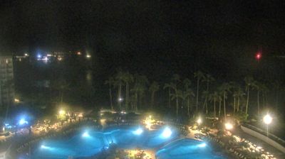

Poipu occupies a low, sun-drenched stretch of Kauai’s southern Pacific coastline in Hawaii. The community is centred on a series of accessible beaches, including Poipu Beach, where a sheltered sandy shore meets lava-rock points and seasonal ocean swells. Just west, Spouting Horn is a blowhole formed in the shoreline lava; waves force spray through a natural opening in the rock. Inland, nearby Kōloa preserves the setting of Hawaii’s first successful commercial sugar plantation, established in 1835, a turning point in the islands’ modern economy. Poipu also sits close to the National Tropical Botanical Garden’s Allerton and McBryde gardens in Lāwaʻi Valley. Move on to other webcams across Kauai and Hawaii to compare coastal settings around Poipu.
1 webcam
Among the regions of the United States, Hawaii stands out for its remote Pacific setting and chain of volcanic islands. These islands rise from the central Pacific Ocean, where trade winds, lava-shaped coasts and tropical vegetation create sharply varied environments. The coordinates lie on Oahu, home to Honolulu, the state capital and its principal urban centre. Oahu also contains Pearl Harbor, a naval base associated with the 1941 attack that brought the United States into the Second World War. Beaches, ridges and densely settled coastal districts sit close together here. Move on to other webcams in the region to compare landscapes and settings around the Hawaiian Islands.
34 webcams
The Atlantic, Pacific and Gulf coasts define much of the United States — their ports, fisheries and trade routes have long tied the country’s economy to the wider world. Between them, the Rocky Mountains, Great Plains and Mississippi River basin form sharply different regions, from high western ranges to broad agricultural heartlands. Cities carry much of the national story: New York’s Statue of Liberty, a gift from France dedicated in 1886, remains an enduring symbol, while Washington, DC concentrates major federal institutions. Indigenous nations have shaped these lands for millennia, and their living cultures remain essential to the country’s identity. Find related webcams in the surrounding areas to build a fuller picture of the United States.
32K webcams