 Skaljari: Kotor - Kotor Fortress - Kotor beach - Bay of Kotor
Built around a sheltered harbour on the Bay of Kotor, Kotor grew into a fortified Adriatic port and the historic centre of the bay. The Bay of Kotor is a deeply indented inlet of the Adriatic, enclosed by steep limestone mountains. Kotor’s stone walls climb the slope of Saint John’s Hill to the Fortress of Saint John, enclosing a compact old town of lanes and squares. The Cathedral of Saint Tryphon, consecrated in 1166, is among its defining monuments. From 1420 to 1797, Kotor belonged to the Venetian Republic, an era that shaped its fortifications and civic architecture. The Natural and Culturo-Historical Region of Kotor has been on UNESCO’s World Heritage List since 1979.
Generated by AI
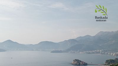
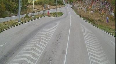






Among the settlements of Kotor Municipality, Škaljari stands out for its position between Kotor’s historic southern edge and the inner reaches of the Bay of Kotor. This urban neighbourhood follows the route leading inland from the bay, with the steep limestone slopes of Lovćen forming the wider backdrop. Kotor’s fortified Old Town, immediately to the north, belongs to the UNESCO-listed Natural and Culturo-Historical Region of Kotor, inscribed in 1979. Its walls climb toward the hilltop Fortress of San Giovanni, a defining mark of the bay’s Venetian-era townscape. Škaljari helps reveal how the compact old port connects with settlements along the coast and mountain roads. Discover other points of interest through webcams located across Kotor Municipality.
1 webcam
The terrain of Kotor Municipality ranges from the sheltered waters and narrow shores of the Bay of Kotor along its coast to rugged limestone slopes and karst uplands inland, creating a compact Adriatic district of striking vertical relief. Kotor’s fortified Old Town stands between the bay and the mountains; its medieval streets and city walls are part of the UNESCO-listed Natural and Culturo-Historical Region of Kotor. Perast reflects the bay’s long seafaring tradition, while sinuous inlets and stone waterfront settlements set this area apart from Montenegro’s open coast. Continue through nearby webcams to explore different parts of Kotor Municipality.
1 webcam
Montenegro occupies a rugged Adriatic coast and mountainous interior in southeastern Europe. The Bay of Kotor cuts deep into the shore beneath steep slopes, while Durmitor National Park protects high Dinaric terrain and the Tara River canyon. Kotor’s fortified old town, shaped during centuries of Venetian rule, is a UNESCO World Heritage site; its lanes and squares contrast with the beaches around Budva. Inland, Lake Skadar forms part of the border with Albania and supports an important wetland ecosystem. Orthodox monasteries, Ottoman-era traces and a strong café culture reflect the country’s layered past. Find related webcams in the surrounding area to build a fuller picture of Montenegro’s coast and mountains.
11 webcams