 Emmetten: Luftseilbahn Niederbauen
Few places in Nidwalden have a history as closely tied to Alpine farming as Emmetten. The settlement occupies a broad terrace above Lake Lucerne, where meadows, farmhouses and wooded slopes rise towards the Niederbauen ridge. The Luftseilbahn Niederbauen connects Emmetten with the higher ground of Niederbauen, a mountain area used for walking and paragliding. Farming remains part of the local identity, expressed in the open pastures that surround the compact village. A paragliding landing field also underlines Emmetten’s role as a base for aerial sports in central Switzerland. Despite its proximity to the transport routes around Lake Lucerne, the community retains the land use and scale of a Nidwalden mountain settlement.
Generated by AI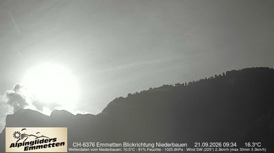
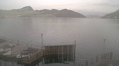
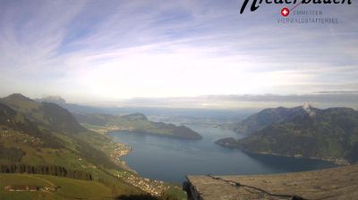
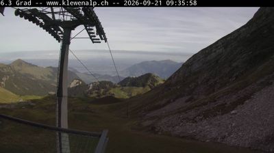
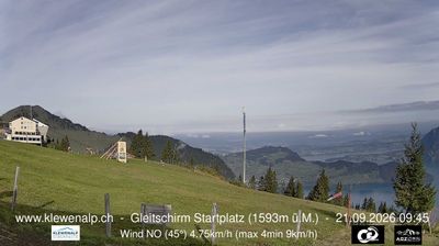
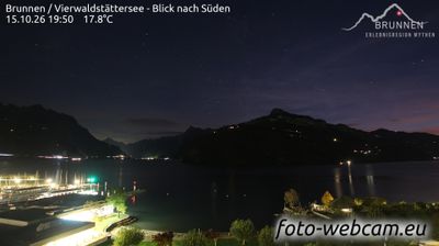


Emmetten occupies a terrace above the southern shore of Lake Lucerne in Nidwalden, central Switzerland. Steep slopes rise behind the village towards Niederbauen, while the water below forms part of the intricate lake basin that defines this canton. A cable car links Emmetten with Niederbauen, providing access to higher alpine terrain for walkers. The parish church of St. Jakob anchors the compact centre, and cattle farming still shapes the meadows around the settlement. Explore nearby webcam locations that provide complementary perspectives on Lake Lucerne and Nidwalden.
3 webcams
Nidwalden stretches from Lake Lucerne to the Uri Alps, encompassing sheltered lakeshores, the Stans valley and steep Prealpine terrain. The Engelberger Aa crosses the canton before entering the lake near Buochs, while the Stanserhorn and the Pilatus range frame its upland horizons. Stans, the cantonal capital, preserves a compact historic centre; its Winkelried monument recalls Arnold von Winkelried, the legendary figure associated with the Battle of Sempach. Rural communities, dairy farming and mountain transport remain part of the region’s identity, alongside close connections with Lucerne. Explore further webcams in the surrounding area to widen your perspective on Nidwalden.
19 webcams
Switzerland stretches from the Jura Mountains in the northwest to the Alps in the south, encompassing a central plateau of cities, farms and lakes. The Rhine rises in the Swiss Alps, while Lake Geneva forms part of the country’s southwestern border. Zürich, Geneva and Basel are major urban centres, yet mountain railways and passes remain central to how many regions are experienced. Four national languages—German, French, Italian and Romansh—reflect Switzerland’s distinct cantonal identities. The Matterhorn above Zermatt is among Europe’s most recognisable peaks, and the 1291 Federal Charter is closely associated with the country’s founding tradition. Continue through nearby webcams to explore different parts of Switzerland.
1K webcams