 Hrpelje-Kozina: A1/E61/E70, Ljubljana - Koper, Videž
The landscape around Hrpelje-Kozina is limestone karst terrain of low wooded ridges and shallow hollows, which has shaped both the built environment and local life. Set on the Karst Plateau of south-western Slovenia, the settlement stands at a long-established road junction between the country’s interior, the port city of Trieste and the Istrian Peninsula. The A1 motorway and connecting roads make this a practical transit point, while the surrounding ground is defined by exposed stone, thin soils and woodland. Karst drainage commonly runs underground, a process that has long influenced settlement and farming patterns. Stone construction is a familiar part of the region’s building tradition.
Generated by AI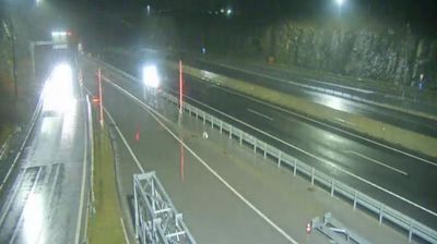
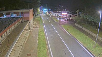
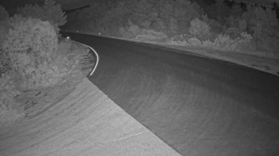


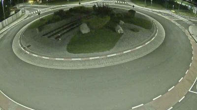


The landscape around Hrpelje-Kozina is a limestone Karst plateau of scrub, woodland and shallow soils, which has shaped both the compact form of its paired settlements and their transport-based economy. Close to the Italian and Croatian borders, it occupies a road and rail corridor linking Slovenia’s interior with the northern Adriatic. The shared name reflects the adjoining communities of Hrpelje and Kozina, which form the centre of their municipality. Porous limestone and dry-stone walls are enduring features of the Slovenian Littoral’s building tradition. Browse other webcams across the Karst and Slovenian Littoral to place this setting in a wider geographic context.
5 webcams
Among the regions of Slovenia, Upravna enota Sezana stands out for its limestone Karst terrain on the Italian border. The Kras plateau shapes the area with caves, sinkholes, stone-built settlements and the rust-red soil associated with Teran wine. At Škocjan Caves, the Reka River disappears beneath the surface in a vast underground canyon; the caves have been a UNESCO World Heritage site since 1986. Lipica, home to a stud farm established in 1580, remains central to the Lipizzan horse-breeding tradition. Explore further landmarks through webcams across the Karst area of Upravna enota Sezana.
18 webcams
Slovenia occupies a meeting point of the Alps, the Pannonian Plain, the Dinaric mountains and the Adriatic coast in south-central Europe. The Julian Alps rise in the northwest, where Triglav is the country’s highest mountain, while the Soča River is known for its clear turquoise water. Karst terrain has shaped caves such as Postojna Cave and the Škocjan Caves, a UNESCO World Heritage site. Ljubljana combines a riverside old town with works by architect Jože Plečnik; farther east, wine-growing regions and thermal springs add another dimension. Slovenian food reflects Alpine, Mediterranean and Balkan influences. Find related webcams in the surrounding area to build a fuller picture of Slovenia and the northern Adriatic.
783 webcams