 Razdrto: H4 - Vrtojba, Nanos
Razdrto lies along the eastern edge of the Vipava Valley, where the limestone slopes of the Nanos Plateau meet Slovenia’s Karst uplands. This small settlement occupies an important passage between central Slovenia and the Adriatic side of the country. The A1 motorway passes by Razdrto on the Ljubljana–Koper route, making the area a key road junction for traffic towards the coast and nearby international connections. Nanos, a broad forested limestone plateau above the settlement, belongs to the Dinaric karst region of caves, sinkholes and thin-soiled grassland. Razdrto is defined less by an urban centre than by the meeting of motorway infrastructure, wooded slopes and the open Vipava corridor.
Generated by AI
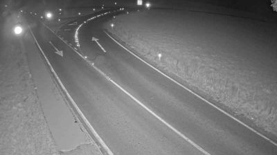
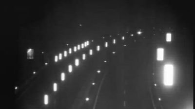


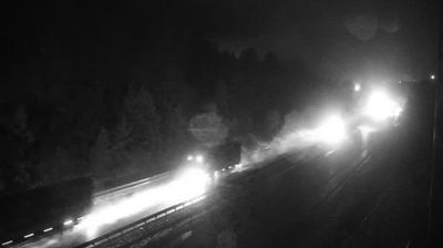

Tucked into the rolling lowlands of southeastern Slovenia, Razdrto is a place whose character is shaped by its quiet rural setting. The settlement lies in a region of fields, wooded slopes and small communities between the Krka Valley and the hills farther south. It reflects the unhurried, agricultural side of Slovenia, away from the country’s better-known Alpine and Adriatic destinations. Browse additional webcams nearby to better understand how Razdrto’s southeastern Slovenian setting relates to its surroundings.
4 webcams
Slovenia occupies a meeting point of the Alps, the Pannonian Plain, the Dinaric mountains and the Adriatic coast in south-central Europe. The Julian Alps rise in the northwest, where Triglav is the country’s highest mountain, while the Soča River is known for its clear turquoise water. Karst terrain has shaped caves such as Postojna Cave and the Škocjan Caves, a UNESCO World Heritage site. Ljubljana combines a riverside old town with works by architect Jože Plečnik; farther east, wine-growing regions and thermal springs add another dimension. Slovenian food reflects Alpine, Mediterranean and Balkan influences. Find related webcams in the surrounding area to build a fuller picture of Slovenia and the northern Adriatic.
784 webcams