 Brno: Brno Reservoir
Built around the damming of the Svratka River, Brno Reservoir grew into Brno’s principal recreational lake. The water extends through the city’s north-western wooded outskirts, where Rakovec is one of its best-known waterside areas and sailing facilities line the shore. Created between 1936 and 1940 as a water-management project, the reservoir has long also been used for boating, walking and leisure. Above its western reaches stands Veveří Castle, a medieval complex linked with Moravian nobility. The meeting of managed water, forested slopes and easy urban access gives Brno a lakeside character rarely expected from Czechia’s second-largest city.
Generated by AI


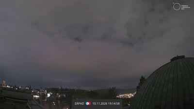
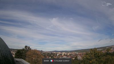

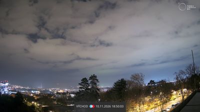


Brno sits at the meeting of the Svratka and Svitava rivers in Czechia’s South Moravian Region, where a major university city meets the wine-growing countryside of Moravia. The country’s second-largest city has long been the historic centre of Moravia, with the twin spires of the Cathedral of St Peter and Paul rising above its old core. Nearby, Špilberk Castle began as a 13th-century royal castle and later served as a fortress and prison. Brno is also home to Villa Tugendhat, Ludwig Mies van der Rohe’s 1930 modernist house, inscribed on the UNESCO World Heritage List. Move on to other webcams in South Moravia to compare city streets, river corridors and vineyard settings around Brno.
12 webcams
South Moravian Region has acted as a cultural crossroads within the Czech lands since the Middle Ages. Brno, Czechia’s second-largest city, is its urban centre, with Špilberk Castle recalling its long strategic role. The region extends across the warm lowlands of the Morava and Dyje rivers, where vineyards shape the countryside around Mikulov and Znojmo. To the north, the Moravian Karst is known for its limestone caves and the Macocha Abyss. The Lednice–Valtice Cultural Landscape, a UNESCO World Heritage Site, combines formal estates, follies and parkland near the Austrian border. Continue with other webcams from the area to see how this part of South Moravia connects regionally.
93 webcams
The terrain of Czechia ranges from fertile lowlands in southern Moravia to mountain ridges along the northern frontier, giving this Central European country a distinctly varied geography. The Vltava runs through Prague before joining the Elbe, while the Krkonoše form part of the border with Poland and include Sněžka, Czechia’s highest mountain. Prague’s historic centre, with Prague Castle and Charles Bridge, reflects the city’s long role as a political and cultural centre. Beyond the capital, Bohemia is known for spa towns and brewing, and Moravia for wine-growing traditions. View additional webcams nearby to better understand how Czechia relates to its Central European surroundings.
1.4K webcams