 Christchurch: SH74 Pages Rd
Christchurch lies on the Ōtākaro Avon River near the Pacific coast, a low, spacious city spreads across the Canterbury Plains between the Southern Alps and the Port Hills. Established by Canterbury Association settlers in 1850, it became the principal urban centre of the South Island’s east coast. The city combines English-influenced civic traditions with Māori heritage; the river’s dual name recognises Ngāi Tahu connections to the area. The earthquakes of 2010 and 2011 profoundly reshaped the centre, leading to a long reconstruction with contemporary public buildings and renewed river-edge spaces. Beyond the urban grid, the plains extend westward, while Banks Peninsula forms a volcanic coastline southeast of the city.
Generated by AI
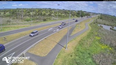


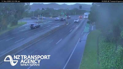
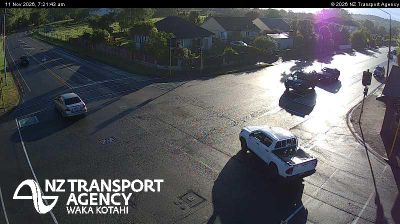
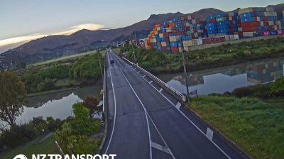
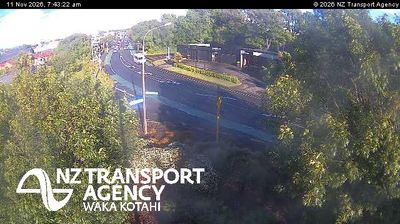

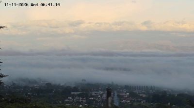

Built around a planned English settlement on the Avon River / Ōtākaro, Christchurch grew into New Zealand’s second-largest urban area and the principal city of Canterbury. The river winds through central parks and the Botanic Gardens, while the volcanic Port Hills rise immediately south of the city and Banks Peninsula extends beyond them. The 2010 and 2011 earthquakes reshaped the centre; rebuilding has brought new public spaces alongside Gothic Revival landmarks such as the Arts Centre, formerly Canterbury College. Christchurch is also a base for journeys across the Canterbury Plains and towards the Southern Alps. Discover other points of interest through webcams located across Christchurch and Canterbury.
32 webcams
The terrain of Canterbury ranges from the Southern Alps on its western margin to the Pacific coastal plains in the east, creating a region of braided rivers, dry grasslands and productive farmland. The Canterbury Plains are crossed by rivers including the Rakaia and Waimakariri, whose shifting gravel channels define much of the South Island interior. Farther inland, Aoraki/Mount Cook rises among New Zealand’s highest mountains. Ngāi Tahu are the mana whenua of Canterbury, and their relationship with land and waterways remains fundamental to the region’s identity. Christchurch, the regional centre, adds an urban dimension through its parks, arts institutions and architecture reshaped after earthquakes. Continue with other webcams from the area to see how this part of New Zealand’s South Island connects regionally.
119 webcams
New Zealand combines Pacific isolation with strong ties to the wider South Pacific in a way that reflects its position between the Tasman Sea and the open Pacific Ocean. The country’s two main islands are divided by Cook Strait, while the Southern Alps run along much of the South Island and include Aoraki / Mount Cook, its highest mountain. On the North Island, volcanic terrain shapes Tongariro National Park and the central plateau; long coastlines frame cities such as Auckland and Wellington. Māori culture is central to national life, and the Treaty of Waitangi, first signed in 1840, remains a foundational document in relations between Māori and the Crown. See how New Zealand fits within the wider South Pacific by browsing webcams nearby.
495 webcams