 Maungakiekie-Tāmaki: Mount Wellington: SH20 Gloucester Park Rd
Built around a colonial military settlement beside Manukau Harbour, Onehunga grew into a southern Auckland suburb with an industrial waterfront and long-standing transport links. Manukau Harbour opens westward to the Tasman Sea and has shaped the area’s working identity since the nineteenth century, when Onehunga developed as a port. The district lies beneath Maungakiekie / One Tree Hill, a volcanic cone of major significance to mana whenua and the site of one of Auckland’s largest Māori pā. State Highway 20 follows the harbour edge nearby, connecting the area to the wider motorway network. Onehunga’s town centre combines historic commercial buildings with cafés, shops and rail connections, while waterfront paths follow reclaimed land along the harbour.
Generated by AI
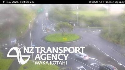
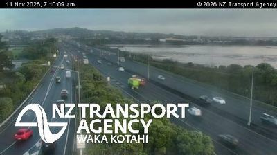
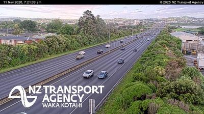
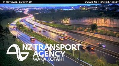
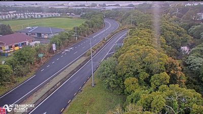


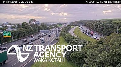
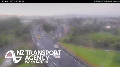

Maungakiekie-Tāmaki straddles the Auckland isthmus in central Auckland, and its position between the Waitematā and Manukau harbours has shaped it as a key part of the city’s interior. At its centre rises Maungakiekie, also known as One Tree Hill, a volcanic cone and one of Tāmaki Makaurau’s most significant ancestral landscapes. Before European colonisation, its slopes held one of New Zealand’s largest Māori pā, with terraces and earthworks still tracing the former settlement. Cornwall Park surrounds the cone, while the summit obelisk recalls the legacy of Sir John Logan Campbell. Discover other points of interest through webcams located across Auckland.
7 webcams
Among New Zealand’s regions, Auckland stands out for its urban setting between two harbours and the islands of the Hauraki Gulf. The region occupies a narrow isthmus, with Waitematā Harbour opening towards the Pacific and Manukau Harbour reaching the Tasman Sea. More than 50 volcanic cones and craters form the Auckland volcanic field; Maungawhau / Mount Eden is among its most recognisable landmarks. Auckland is also New Zealand’s largest city and a major centre of Māori and Pacific communities, reflected in its food, arts and public life. Continue to other webcams in the region to compare coastal, harbour and city settings around Auckland.
128 webcams
New Zealand combines Pacific isolation with strong ties to the wider South Pacific in a way that reflects its position between the Tasman Sea and the open Pacific Ocean. The country’s two main islands are divided by Cook Strait, while the Southern Alps run along much of the South Island and include Aoraki / Mount Cook, its highest mountain. On the North Island, volcanic terrain shapes Tongariro National Park and the central plateau; long coastlines frame cities such as Auckland and Wellington. Māori culture is central to national life, and the Treaty of Waitangi, first signed in 1840, remains a foundational document in relations between Māori and the Crown. See how New Zealand fits within the wider South Pacific by browsing webcams nearby.
491 webcams