 Lidatorp och Klövsta: Älgviken
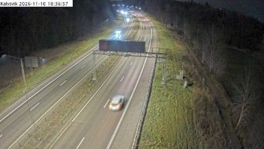
Tucked into the wooded lowlands of eastern Sweden, Älgviken is a place whose character is shaped by the E4 motorway and its broad transport corridor. The E4 is one of Sweden’s principal north–south routes, running from the south of the country towards the Finnish border. Here, divided carriageways, connecting ramps and wide verges pass through low forest, grassland and rocky outcrops rather than a built-up centre. Älgviken takes its name from Swedish words meaning “moose” and “bay”, a small linguistic trace of the country’s relationship with its landscape. The interchange belongs to the wider Södermanland setting, where woodland and cultivated land extend towards the indented Baltic coast south of Stockholm.
Generated by AI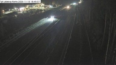
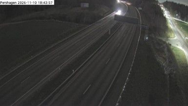


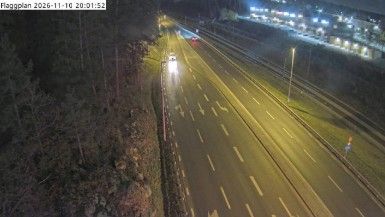
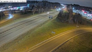


Lidatorp och Klovsta lies along Södertörn’s Baltic-facing countryside in southern Stockholm County, where mixed forest and farmland shape the low-lying mainland south of Stockholm. It is a rural part of Nynäshamn Municipality rather than an urban district, with the Baltic coast and the larger communities of Ösmo and Nynäshamn defining the surrounding area. Södertörn forms part of the wider Stockholm archipelago region, whose islands and skerries extend into the Baltic Sea. Nearby Nynäshamn is an important ferry port for Gotland. Move on to other webcams in Stockholm County to compare landscapes and settings around Södertörn.
1 webcam
Stockholm County's terrain runs from dense urban lowlands around Stockholm in the west to wooded granite islands of the Baltic archipelago in the east, bringing city neighbourhoods and open water into close proximity. Lake Mälaren reaches the Baltic through central Stockholm, while ferries link the capital with islands farther out to sea. Gamla Stan, Stockholm’s historic core, occupies islands between the lake and the sea, and its streets lead to the Royal Palace. Vaxholm Fortress, beside a key water route toward the capital, recalls the archipelago’s strategic importance. Find related webcams in the surrounding area to build a fuller picture of Stockholm County.
321 webcams
Sweden combines Baltic coastal life with Arctic expanses in a way that reflects its position within northern Europe. Forests, lakes and long shorelines define much of the country, from Lake Vänern in the south to the Gulf of Bothnia and the mountains along the Norwegian border. Stockholm spreads across islands where Lake Mälaren meets the Baltic Sea, while the preserved 17th-century warship at the Vasa Museum recalls Sweden’s era as a major European power. Midsummer celebrations and the traditions of the Sámi people add further depth to its regional identity. Browse other webcams across Sweden to place this setting in a wider geographic context.
983 webcams