 Gudmundrå District: Korpberget
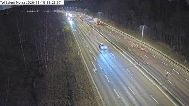
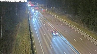
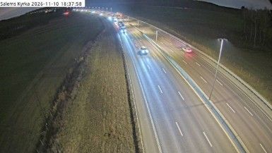
Built around a strait linking Lake Mälaren with the Baltic Sea, Södertälje grew into a major transport and industrial town. Korpberget lies on the northern approach to the city, where the E4 crosses a settled fringe of cultivated land and woodland. The Södertälje Canal, opened in 1819, created a navigable passage between the lake and the sea and remains central to the town’s transport identity. This road section belongs to Sweden’s principal north–south motorway, linking the Stockholm area with destinations farther south and north. Fields, forest belts and wide divided carriageways give Korpberget a strongly infrastructural character rather than the dense urban form of central Södertälje.
Generated by AI
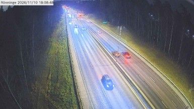

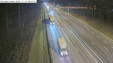
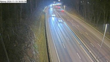
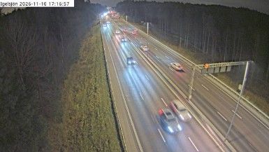


Among the cities of Västernorrland County, Gudmundrå District stands out for its setting in the broad valley of the Ångermanälven, one of northern Sweden’s great rivers. The district forms part of Kramfors Municipality in the historic province of Ångermanland, where forested slopes, river communities and roads leading towards the High Coast define the local geography. Its character is shaped less by urban density than by the long relationship between settlement, woodland and water in inland coastal Sweden. The wider municipality also reaches the UNESCO-listed High Coast, known for land uplift following the Ice Age. Browse additional webcams from the surrounding area to extend your view of Ångermanland.
1 webcam
Västernorrland County stretches from the Gulf of Bothnia coast to the wooded interior bordering Jämtland, encompassing the rocky High Coast and broad river valleys. Its shoreline forms part of the High Coast/Kvarken Archipelago UNESCO World Heritage Site, recognised for an exceptional record of post-glacial land uplift. The Ångermanälven, Indalsälven and Ljungan flow through forests and settled valleys before reaching the sea. Sundsvall, the county’s largest city, is known for its stone-built centre, reconstructed after the fire of 1888. Find related webcams in the surrounding area to build a fuller picture of Västernorrland County.
6 webcams
Sweden combines Baltic coastal life with Arctic expanses in a way that reflects its position within northern Europe. Forests, lakes and long shorelines define much of the country, from Lake Vänern in the south to the Gulf of Bothnia and the mountains along the Norwegian border. Stockholm spreads across islands where Lake Mälaren meets the Baltic Sea, while the preserved 17th-century warship at the Vasa Museum recalls Sweden’s era as a major European power. Midsummer celebrations and the traditions of the Sámi people add further depth to its regional identity. Browse other webcams across Sweden to place this setting in a wider geographic context.
991 webcams