 Sörvik: Brattåsmotet norrut
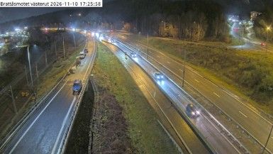
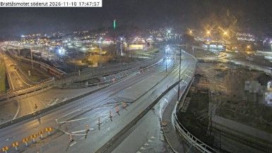
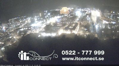
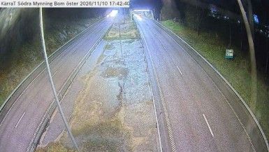
Few places in Bohuslän have a history as closely tied to maritime trade as Uddevalla, near the Brattåsmotet interchange. Brattåsmotet stands on the northern approach to this west-coast city, joining the E6 with roads leading toward inland western Sweden. Uddevalla occupies the head of Byfjorden, a long inlet connected to the Skagerrak. Its sheltered harbour supported commerce and shipbuilding for generations; the Uddevallavarvet shipyard became a major part of the city’s twentieth-century industrial identity before closing in 1985. The interchange is set among wooded, rocky slopes, a terrain that marks the inland edge of Bohuslän rather than the open coast.
Generated by AI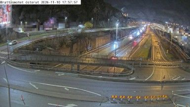
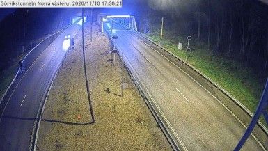
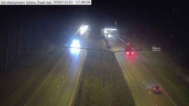
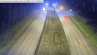
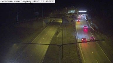
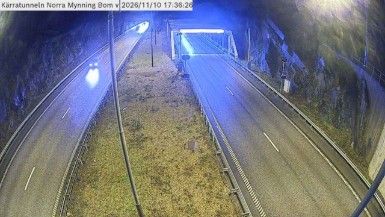

Lake Väsman frames Sörvik — wooded water and the gently rolling terrain of southern Dalarna give this small settlement a distinctly inland Swedish character. It lies in Ludvika Municipality, where forests, lakes and former industrial communities shape the everyday landscape rather than an urban skyline. The wider area belongs to Bergslagen, the historic mining and ironworking district that influenced central Sweden for centuries. Dalarna’s cultural identity is also expressed in red-painted wooden houses and the Dala horse, the region’s celebrated carved and painted emblem. Find related webcams around Lake Väsman and Dalarna to build a fuller picture of Sörvik and its surroundings.
4 webcams
Dalarna County is renowned in Sweden for the hand-carved and brightly painted Dala horse, a folk symbol closely tied to the region. Its terrain runs from the forests of Bergslagen towards mountains on the Norwegian border, while the Dalälven River and Lake Siljan shape much of its geography. Falun, the county seat, developed around the historic Falun Copper Mine, now a UNESCO World Heritage Site. Midsummer traditions, regional dress and red-painted timber houses remain strong markers of local identity, particularly around Siljan. View additional webcams nearby to better understand how Dalarna County relates to central Sweden’s forests, lakes and uplands.
24 webcams
Sweden combines Baltic coastal life with Arctic expanses in a way that reflects its position within northern Europe. Forests, lakes and long shorelines define much of the country, from Lake Vänern in the south to the Gulf of Bothnia and the mountains along the Norwegian border. Stockholm spreads across islands where Lake Mälaren meets the Baltic Sea, while the preserved 17th-century warship at the Vasa Museum recalls Sweden’s era as a major European power. Midsummer celebrations and the traditions of the Sámi people add further depth to its regional identity. Browse other webcams across Sweden to place this setting in a wider geographic context.
991 webcams