 Río Piedras: Peck Canyon South
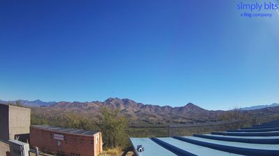
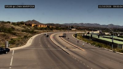
Among the places of southern Arizona, Río Rico stands out for its spread of hillside homes above the Santa Cruz River valley. This residential community in Santa Cruz County occupies the northern edge of the borderlands around Nogales, where low, dry ridges frame a broad corridor of settlement, roads and ranchland. The Santa Cruz River has shaped movement through this valley for centuries, although its flow is intermittent along many stretches. Río Rico belongs to a region with deep Indigenous and Hispanic roots. North of the community, Tumacácori National Historical Park preserves the ruins of Mission San José de Tumacácori, a Spanish mission founded in 1691. The area presents an everyday borderland setting formed by valleys, hills and long-distance connections.
Generated by AI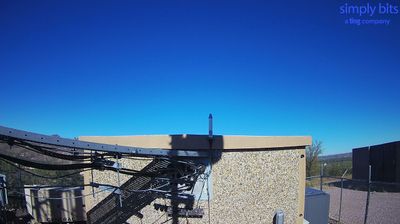






Río Piedras is best known in Puerto Rico for the University of Puerto Rico’s Río Piedras Campus, the principal and oldest campus in the public university system. This inland district of San Juan developed as an independent municipality before being incorporated into the capital in 1951. The Río Piedras River runs through the area, and the University of Puerto Rico Botanical Garden preserves a substantial green setting around its course. Near the traditional town centre, Plaza del Mercado de Río Piedras remains a familiar point of local commerce. Browse other webcams across Puerto Rico to place this setting in a wider geographic context.
4 webcams
Puerto Rico runs from the Atlantic Ocean along its northern shore to the Caribbean Sea in the south, encompassing a mountainous interior framed by coastal plains. The Cordillera Central crosses the island, while El Yunque National Forest in the northeast protects tropical rainforest and is the only tropical rainforest in the U.S. National Forest System. Vieques and Culebra belong to the wider archipelago. In the capital, San Juan, Old San Juan retains Spanish colonial fortifications, including Castillo San Felipe del Morro above the Atlantic. Spanish is the principal everyday language, alongside English in this U.S. territory. View additional webcams nearby to better understand how Puerto Rico relates to the Atlantic, Caribbean, and offshore islands.
6 webcams
The Atlantic, Pacific and Gulf coasts define much of the United States — their ports, fisheries and trade routes have long tied the country’s economy to the wider world. Between them, the Rocky Mountains, Great Plains and Mississippi River basin form sharply different regions, from high western ranges to broad agricultural heartlands. Cities carry much of the national story: New York’s Statue of Liberty, a gift from France dedicated in 1886, remains an enduring symbol, while Washington, DC concentrates major federal institutions. Indigenous nations have shaped these lands for millennia, and their living cultures remain essential to the country’s identity. Find related webcams in the surrounding areas to build a fuller picture of the United States.
32K webcams