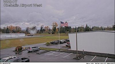
 Chehalis: Centralia Airport North
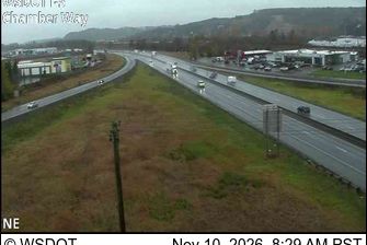
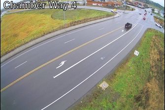
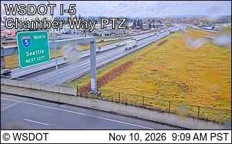
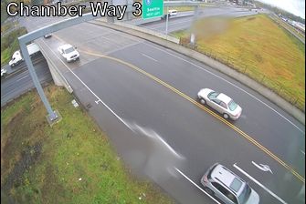
Chehalis occupies the broad Chehalis River valley in southwest Washington. The Lewis County seat developed as a rail and commercial centre, and its historic downtown retains early-20th-century civic and commercial buildings. Chehalis-Centralia Airport stands west of the centre amid the low, open valley, serving general aviation with runways, aircraft parking and hangars. Interstate 5 runs through the city, linking it with Olympia to the north and Portland to the south. The surrounding setting is defined by working land, wooded ridges and the river system that gives the city its name.
Generated by AI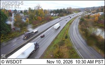
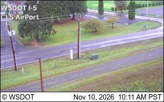
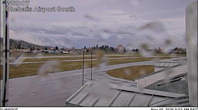
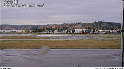

Built around a rail corridor beside the Chehalis River, Chehalis grew into the county seat of Lewis County in southwest Washington. Its compact historic downtown reflects the city’s railroad-era role, while the 1912 Northern Pacific depot now houses the Lewis County Historical Museum. The Chehalis-Centralia Railroad continues that rail tradition with excursion trains, and the Veterans Memorial Museum presents military history through vehicles, artifacts and personal stories. Forested lowlands and river valleys place the city between the Puget Sound region and the Cascades. Explore nearby locations that provide complementary perspectives on Chehalis and southwest Washington.
18 webcams
Washington’s terrain runs from Pacific coastal lowlands in the west to the dry Columbia Plateau in the east, with the Cascade Range creating a marked climatic divide. Central Washington lies on the plateau side of the Cascades, where the Columbia River has cut broad valleys and irrigation supports orchards and vineyards. The state also includes Puget Sound, the intricate marine inlet around Seattle, and the volcanic cone of Mount Rainier. Seattle’s Space Needle, built for the 1962 World’s Fair, remains one of its most recognisable landmarks. Move on to other webcams in the region to compare landscapes and settings around Washington.
1.5K webcams
The Atlantic, Pacific and Gulf coasts define much of the United States — their ports, fisheries and trade routes have long tied the country’s economy to the wider world. Between them, the Rocky Mountains, Great Plains and Mississippi River basin form sharply different regions, from high western ranges to broad agricultural heartlands. Cities carry much of the national story: New York’s Statue of Liberty, a gift from France dedicated in 1886, remains an enduring symbol, while Washington, DC concentrates major federal institutions. Indigenous nations have shaped these lands for millennia, and their living cultures remain essential to the country’s identity. Find related webcams in the surrounding areas to build a fuller picture of the United States.
32K webcams